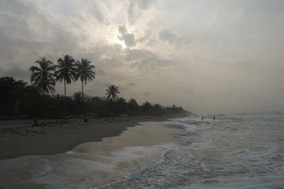
Palomino, Caribbean coastal settlement in La Guajira Department, Colombia.
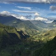
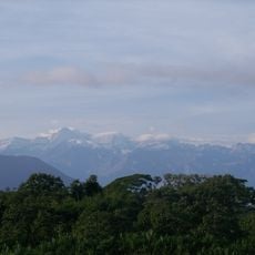
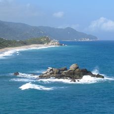
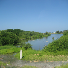
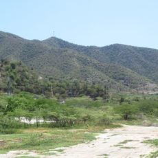
Palomino is a coastal settlement in La Guajira Department, stretching between the Caribbean Sea and towering mountains behind it. The village sits on flat ground right at the water's edge, with steep green slopes rising dramatically inland.
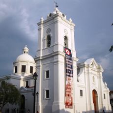
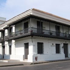
The settlement was founded in the early 1500s and named after someone involved in establishing the nearby city of Santa Marta. This early founding made it one of the oldest settlements in the region.
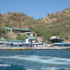
The community blends different traditions visible in daily routines and local food. Visitors can notice how people interact along the shore and streets, sharing meals that mix Caribbean and highland influences.
The settlement is accessible by road connections to larger nearby cities. The best time to visit is from December through May, when rainfall is lower and outdoor activities are more comfortable.
Directly behind the village, some of the highest mountain peaks near the sea rise sharply upward. This closeness between beach and high mountains creates an unusual geographical contrast that visitors can see right away.
The community of curious travelers
AroundUs brings together thousands of curated places, local tips, and hidden gems, enriched daily by 60,000 contributors worldwide.