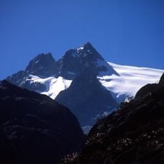
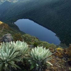
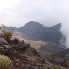
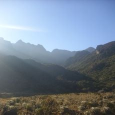
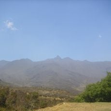
Páramo La Culata, Mountain ridge in Mérida, Venezuela.
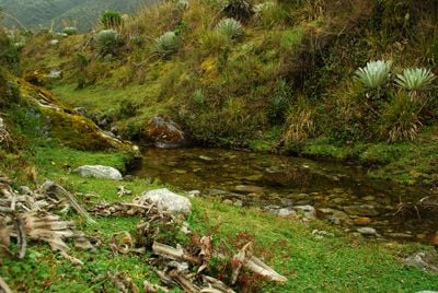
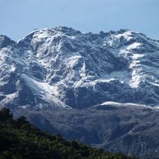
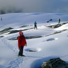
Páramo La Culata is a mountain ridge in the Andes that sits at extreme altitude and supports adapted plant life. The terrain features vegetation specifically suited to high-altitude conditions, creating a distinct environment found only in such elevated regions.
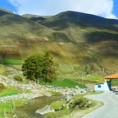
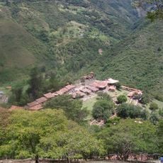
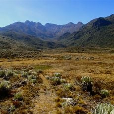
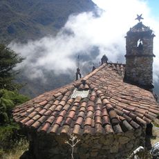
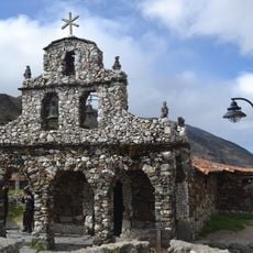
Indigenous peoples shaped this mountain landscape in pre-Columbian times by building terraces that allowed them to farm at high altitude. These structures reveal how early inhabitants engineered solutions to cultivate crops despite the challenging environment.
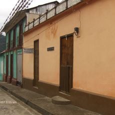
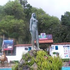
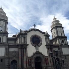
The ridge serves as a living space where local Andean communities have adapted their way of life to extreme altitude for centuries. Walking through, you can observe how traditional farming methods continue to shape the landscape and the relationship between people and this high-altitude environment.
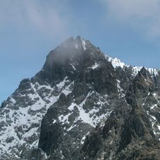
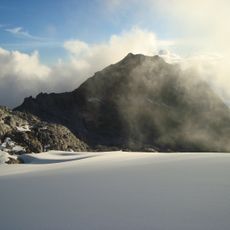
Plan for extreme altitude and cold conditions, allowing time to adjust to the elevation before hiking. Proper gear and physical preparation are essential for safely exploring the trails here.
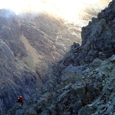
The ridge shows traces of ancient glacial movement that shaped valley formations and rock deposits across the landscape. These geological features tell a story of erosion and landscape change that you can observe while walking through the area.
Location: Mérida
Elevation above the sea: 4,261 m
GPS coordinates: 8.75910,-71.11340
Latest update: December 6, 2025 17:41
Venezuela contains places away from standard tourist routes. The Andes hold waterfalls and colonial towns with long histories. The coast features remote beaches and islands with clear waters. Inland areas have caves, rock carvings, and nature reserves. The country experiences rare natural events,...
Pico Bolívar
25.3 km
Mérida cable car
26.2 km
Sierra Nevada National Park
50.3 km
Humboldt peak
26.6 km
Llano del Hato National Astronomical Observatory
26.7 km
Sierra La Culata National Park
16.5 km
Pico Espejo
26.2 km
Laguna Negra
34 km
Botanical Garden of Mérida
15.4 km
Los Aleros
14.1 km
Pico Bonpland
26.9 km
Pico La Concha
24.6 km
Pico El León
27.7 km
Pico Mucuñuque
34.2 km
Our Lady of Perpetual Help Cathedral, El Vigia
61 km
Pico Los Nevados
24.1 km
Basilica of St. Lucia, Timotes
48.1 km
Alto de Timotes
33.7 km
Pico Mifés
33.8 km
Capilla del Filo del Tisure
37.2 km
Pico Guirigay
64.8 km
Monte Carmelo
58 km
Parque Zoológico Chorros de Milla
14.6 km
Cathedral Basilica of the Immaculate Conception
18.3 km
Pico El Gavilán
35.9 km
Capilla de Piedra de San Rafael de Mucuchies
26.6 km
La Corona glacier
25.7 km
Pico Campanario
18.1 kmVisited this place? Tap the stars to rate it and share your experience / photos with the community! Try now! You can cancel it anytime.
Discover hidden gems everywhere you go!
From secret cafés to breathtaking viewpoints, skip the crowded tourist spots and find places that match your style. Our app makes it easy with voice search, smart filtering, route optimization, and insider tips from travelers worldwide. Download now for the complete mobile experience.
A unique approach to discovering new places❞
— Le Figaro
All the places worth exploring❞
— France Info
A tailor-made excursion in just a few clicks❞
— 20 Minutes