Enable Location

We need your location to show you interesting places around you

Discover nearby places

Find interesting locations and hidden gems around you

Precise directions

Get accurate directions and distances to places

Your location is never shared with other users. It's only used when you tap the location button.

Log in to your account

Start exploring — it's free

Trusted by 62,842 travelers worldwide

Continue with Google
Continue with Apple
or

We will send you a code to connect

By continuing, you accept our Terms and Conditions and our Privacy Policy

Check your inbox

We've sent a pincode in your inbox. Please enter the code below.

Municipio La Cañada, Administrative municipality in Zulia State, Venezuela.

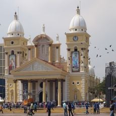
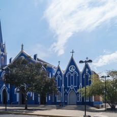
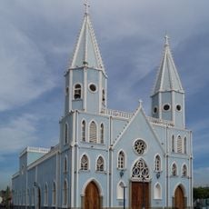
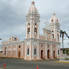
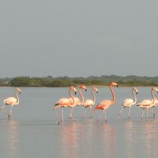
Municipio La Cañada is an administrative municipality in Zulia State, Venezuela, spanning lowlands between the Palmar River and the shores of Lake Maracaibo. The territory is divided into five parishes—El Carmelo, Concepción, Chiquinquirá, Potreritos, and Andrés Bello—each serving different parts of the community.

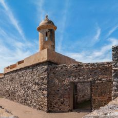
The territory transformed from District Urdaneta into an independent municipality in 1989 following Venezuela's constitutional reform aimed at decentralizing public administration. This change allowed the region to develop its own local governance structure.

The name La Cañada reflects the traditional regional identity of this area in western Venezuela. Local communities maintain their connection to the land through practices that have developed over time in these lowland territories.

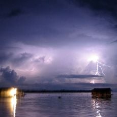
The municipality comprises five parishes distributed across lowland terrain, each with its own local services and centers. When exploring, note that the flat landscape can be affected by seasonal water levels, particularly near the river and lake areas.

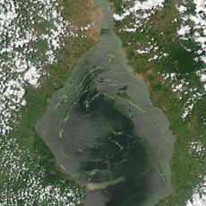
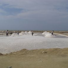
In 1945, the Richmond Exploration Company discovered the Boscán oil field here, which became one of Zulia State's largest petroleum reserves. This discovery fundamentally reshaped the region's economic importance and development.

The community of curious travelers

AroundUs brings together thousands of curated places, local tips, and hidden gems, enriched daily by 60,000 contributors worldwide.

Start exploring
Location
Capital city
Concepción
Part of
Zulia
GPS coordinates
10.35806,-71.89167
Latest update
December 7, 2025 10:08
« Municipio La Cañada - Administrative municipality in Zulia State, Venezuela » is provided by Around Us (aroundus.com). Images and texts are derived from Wikimedia project under a Creative Commons license. You are allowed to copy, distribute, and modify copies of this page, under the conditions set by the license, as long as this note is clearly visible.

Discover hidden gems everywhere you go!

From secret cafés to breathtaking viewpoints, skip the crowded tourist spots and find places that match your style. Our app makes it easy with voice search, smart filtering, route optimization, and insider tips from travelers worldwide. Download now for the complete mobile experience.

Around Us App Screenshot

A unique approach to discovering new places

Le Figaro

All the places worth exploring

France Info

A tailor-made excursion in just a few clicks

20 Minutes

Around Us
Travel Guide & Maps
Download

Send to your phone

QR Code
1

Open the camera app on your mobile.

2

Point at the QR code with your camera. A notification will appear.

3

Tap the notification to open the link.