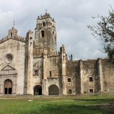
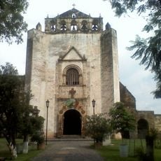
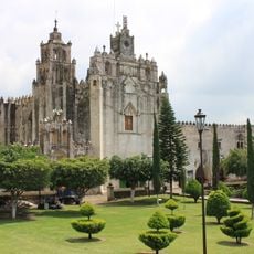
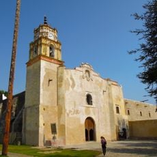
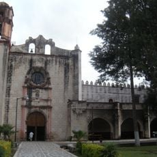
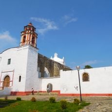
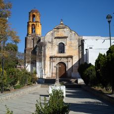
Tepetlixpa, Municipal division in State of Mexico, Mexico
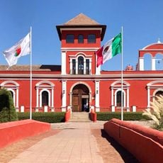
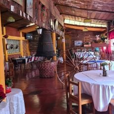
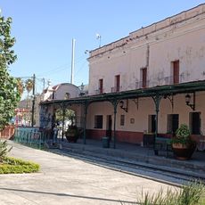
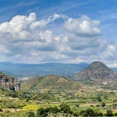
Tepetlixpa is a municipality in the southeastern State of Mexico with elevations ranging from 1800 to 2700 meters (5900 to 8900 feet). The main town serves as the administrative center for the region.
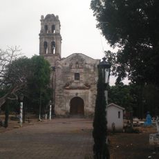
The region was first settled in 1323 by Xochimilca people who later maintained tributary relations with the Mexica civilization. These early communities formed the foundation of the present municipality.
The village of Nepantla de Sor Juana Inés de la Cruz is located within these boundaries, marking the birthplace of a renowned 17th-century Mexican poet and scholar. Visitors interested in literary history can explore the connections to this significant figure.
The administrative center in the main town provides governmental services to the local population. Visitors should note that the varying elevations influence climate conditions across the territory.
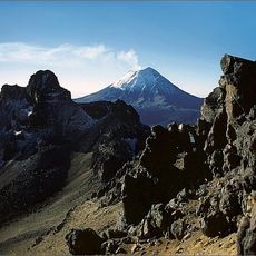
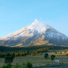
The territory sits between the Sierra de Chichinautzin mountain range and the Popocatepetl-Iztaccihuatl volcanic system, creating distinct climate zones. This geographic position results in notably different conditions depending on location within the area.
GPS coordinates: 19.01393,-98.84231
Latest update: December 10, 2025 15:54
Popocatépetl
23.1 km
Monasteries on the slopes of Popocatépetl
10.6 km
Hacienda Cocoyoc
20.9 km
Former convent of Saint Dominic de Guzmán
18 km
Former convent of Saint John the Baptist
14.6 km
Estadio Olímpico de Oaxtepec
18 km
Former convent of Saint John the Baptist
16 km
Glaciar Norte
23.1 km
Convent of Saint Mathew the Apostle, Atlatlahucan
10.6 km
Former convent of Saint John the Baptist
18.1 km
Former convent of Saint William
8.4 km
Former convent of Saint Dominic de Guzmán
21.4 km
Convento de Santiago Apóstol
16.8 km
Museo de Sor Juana Inés de la Cruz
16.2 km
Museo Sor Juana Inés de la Cruz
3.9 km
Cuerpo De Fuerzas Especiales
19.4 km
Aleman Munich
8.5 km
Museo vivencia ferrocarril 279
24.9 km
Letras Monumentales de Yecapixtla
14.8 km
Museum Cartonería
23.9 km
Exconvento Asunción De María
16.7 km
Piramide Tlayacapan
17.9 km
Lienzo Charro Del Dorado
18.6 km
Dif Municipal Juchitepef
10.9 km
La Cerería
16.2 km
La Castañeda
18.2 km
El Altillo
15 km
Arco Ozumba
4.9 kmVisited this place? Tap the stars to rate it and share your experience / photos with the community! Try now! You can cancel it anytime.
Discover hidden gems everywhere you go!
From secret cafés to breathtaking viewpoints, skip the crowded tourist spots and find places that match your style. Our app makes it easy with voice search, smart filtering, route optimization, and insider tips from travelers worldwide. Download now for the complete mobile experience.
A unique approach to discovering new places❞
— Le Figaro
All the places worth exploring❞
— France Info
A tailor-made excursion in just a few clicks❞
— 20 Minutes