Chest opened
+${chestReward.xp} XP
Explorer
NOUVEAU ×${chestReward.collectible.quantity}
tapez pour fermer
Chest locked

Open chests in the app

Around Us is built for your phone — chests unlock when you walk, explore and capture nearby places.

Enable Location

We need your location to show you interesting places around you

Discover nearby places

Find interesting locations and hidden gems around you

Precise directions

Get accurate directions and distances to places

Your location is never shared with other users. It's only used when you tap the location button.

Sierra de Santa Catarina

Log in to your account

Start exploring — it's free

Trusted by 72,997 travelers worldwide

Continue with Google
Continue with Apple
or

We will send you a code to connect

By continuing, you accept our Terms and Conditions and our Privacy Policy

Check your inbox

We've sent a pincode in your inbox. Please enter the code below.

Sierra de Santa Catarina
Discussion Reviews 1 Photos
9.6k Popularity

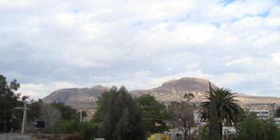
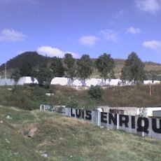
Sierra de Santa Catarina, Mountain range in Mexico City, Mexico.

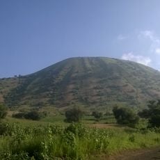
Sierra de Santa Catarina is a volcanic mountain range in the eastern part of Mexico City, made up of a series of extinct cinder cones. Its summits sit at around 2,500 to 2,750 meters above sea level, rising clearly above the flat urban area that surrounds them.

The range formed during the Quaternary period through a series of volcanic eruptions that shaped the eastern edge of the Mexico City basin. Those eruptions left behind a chain of cinder cones that now define the outline of the range as seen from the city.

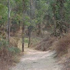
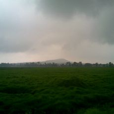
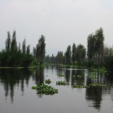
The name Santa Catarina refers to Saint Catherine of Alexandria, whose veneration remains alive in the surrounding neighborhoods. On the lower slopes, visitors can spot small milpa plots where corn, beans, and squash are grown together in a traditional pattern.

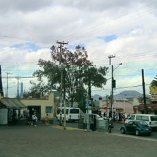
The range sits in the eastern part of Mexico City and can be reached on foot from several surrounding neighborhoods. Morning visits tend to offer clearer skies and cooler temperatures, which makes walking the trails more comfortable.

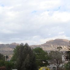
One of the cones in the range, Xaltepec, was a place of worship in pre-Hispanic times and is still used by some indigenous groups for ceremonial gatherings today. This makes it one of the few actively used ritual sites within the city limits of Mexico City.

The community of curious travelers

AroundUs brings together thousands of curated places, local tips, and hidden gems, enriched daily by 60,000 contributors worldwide.

Start exploring
GPS coordinates
19.31667,-99.03333
Latest update
March 3, 2026 10:12
Reviews
Share your experience

No review yet

Discussions
Start a discussion...

No discussion yet

« Sierra de Santa Catarina - Mountain range in Mexico City, Mexico » is provided by Around Us (aroundus.com). Images and texts are derived from Wikimedia project under a Creative Commons license. You are allowed to copy, distribute, and modify copies of this page, under the conditions set by the license, as long as this note is clearly visible.

Discover hidden gems everywhere you go!

From secret cafés to breathtaking viewpoints, skip the crowded tourist spots and find places that match your style. Our app makes it easy with voice search, smart filtering, route optimization, and insider tips from travelers worldwide. Download now for the complete mobile experience.

Around Us App Screenshot

A unique approach to discovering new places

Le Figaro

All the places worth exploring

France Info

A tailor-made excursion in just a few clicks

20 Minutes

Around Us
Travel Guide & Maps
Download

Send to your phone

QR Code
1

Open the camera app on your mobile.

2

Point at the QR code with your camera. A notification will appear.

3

Tap the notification to open the link.