Chest opened
+${chestReward.xp} XP
Explorer
NOUVEAU ×${chestReward.collectible.quantity}
tapez pour fermer
Chest locked

Open chests in the app

Around Us is built for your phone — chests unlock when you walk, explore and capture nearby places.

Enable Location

We need your location to show you interesting places around you

Discover nearby places

Find interesting locations and hidden gems around you

Precise directions

Get accurate directions and distances to places

Your location is never shared with other users. It's only used when you tap the location button.

Capilla de Guadalupe

Log in to your account

Start exploring — it's free

Trusted by 72,887 travelers worldwide

Continue with Google
Continue with Apple
or

We will send you a code to connect

By continuing, you accept our Terms and Conditions and our Privacy Policy

Check your inbox

We've sent a pincode in your inbox. Please enter the code below.

Capilla de Guadalupe
Discussion Reviews 1 Photos
12.7k Popularity

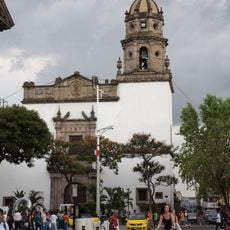
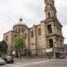
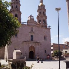
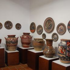
Capilla de Guadalupe, Agricultural town in Tepatitlán de Morelos, Mexico

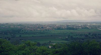
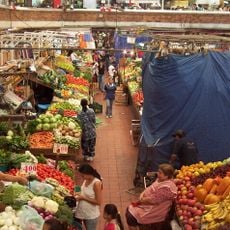
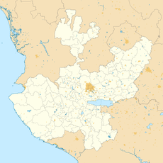
Capilla de Guadalupe is a settlement in the Altos Sur region of Jalisco state, situated at 2060 meters elevation. The area is surrounded by mountains and has manufacturing and textile plants that employ a significant portion of the working population.

The settlement was founded in 1820 by Antonio de Aceves y Casillas, establishing a new community after Spanish control ended in the region. This founding marked the beginning of Mexican authority over the area.

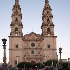
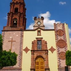
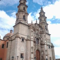
The town celebrates the Virgin of Guadalupe with processions and decorated floats that draw residents into the streets each year. These gatherings are central to local religious life and bring the community together.

The settlement is located in a mountain region, making the surroundings suitable for walking and hiking exploration. The higher elevation can affect physical exertion, so taking time to acclimate is advisable.

The mountain range nearby, featuring peaks like Cerro El Carnicero, Cerro Gordo, and Cerro El Guilote, shapes the landscape and offers various hiking routes. Visitors can explore this natural backdrop without traveling far from the settlement.

The community of curious travelers

AroundUs brings together thousands of curated places, local tips, and hidden gems, enriched daily by 60,000 contributors worldwide.

Start exploring
Elevation above the sea
2,058 m
GPS coordinates
20.82694,-102.59222
Latest update
December 7, 2025 20:43
Reviews
Share your experience

No review yet

Discussions
Start a discussion...

No discussion yet

« Capilla de Guadalupe - Agricultural town in Tepatitlán de Morelos, Mexico » is provided by Around Us (aroundus.com). Images and texts are derived from Wikimedia project under a Creative Commons license. You are allowed to copy, distribute, and modify copies of this page, under the conditions set by the license, as long as this note is clearly visible.

Discover hidden gems everywhere you go!

From secret cafés to breathtaking viewpoints, skip the crowded tourist spots and find places that match your style. Our app makes it easy with voice search, smart filtering, route optimization, and insider tips from travelers worldwide. Download now for the complete mobile experience.

Around Us App Screenshot

A unique approach to discovering new places

Le Figaro

All the places worth exploring

France Info

A tailor-made excursion in just a few clicks

20 Minutes

Around Us
Travel Guide & Maps
Download

Send to your phone

QR Code
1

Open the camera app on your mobile.

2

Point at the QR code with your camera. A notification will appear.

3

Tap the notification to open the link.