Enable Location

We need your location to show you interesting places around you

Discover nearby places

Find interesting locations and hidden gems around you

Precise directions

Get accurate directions and distances to places

Your location is never shared with other users. It's only used when you tap the location button.

Irapuato

Log in to your account

Start exploring — it's free

Trusted by 61,815 travelers worldwide

Continue with Google
Continue with Apple
or

We will send you a code to connect

By continuing, you accept our Terms and Conditions and our Privacy Policy

Check your inbox

We've sent a pincode in your inbox. Please enter the code below.

Irapuato

Irapuato, Agricultural center in Guanajuato, Mexico.

Description

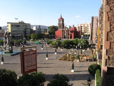
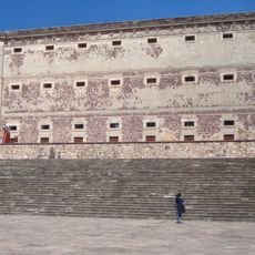
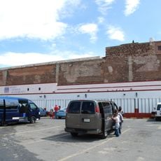
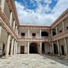
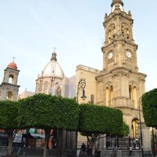
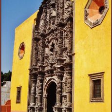
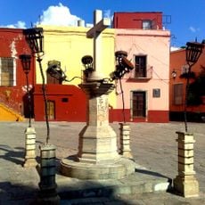
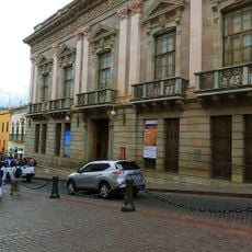
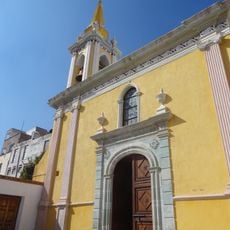
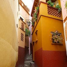
Irapuato is an agricultural city in the state of Guanajuato in central Mexico, spreading across the Bajío valley between two rivers. The surroundings are marked by irrigated fields, greenhouses and flat plains, while the downtown area combines colonial buildings and modern neighborhoods.

History

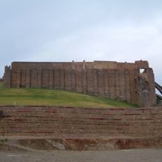
A Spanish bishop founded the settlement in the mid-16th century with a hospital and chapel for the indigenous population. Over the colonial period the community developed into a regional center for farming and trade in the valley.

Culture

Local markets sell fresh strawberries and other produce from surrounding fields and greenhouses every day. Residents and visitors meet there to buy vegetables, fruit and regional specialties, which shapes the social life of this agricultural center.

Practical

Travelers arriving by plane can use the nearby international airport in the neighboring town of Silao, which offers connections to the United States and other Mexican cities. The center can be explored on foot, while a vehicle is helpful for trips to the surrounding growing areas.

Did you know?

Channels and pipes from the upper Lerma River supply water to fields around the city and enable several harvests per year. Some greenhouses cover several hectares and produce vegetables and berries even outside the natural season.

Inception
1547
Founders
Vasco de Quiroga
Elevation above the sea
1,728 m
GPS coordinates
20.67588,-101.35211
Latest update
December 12, 2025 23:01

AroundUs brings together thousands of curated places, local tips, and hidden gems, enriched daily by 60,000 contributors worldwide. Discover all places nearby (Irapuato Municipality).

« Irapuato - Agricultural center in Guanajuato, Mexico » is provided by Around Us (aroundus.com). Images and texts are derived from Wikimedia project under a Creative Commons license. You are allowed to copy, distribute, and modify copies of this page, under the conditions set by the license, as long as this note is clearly visible.

Discover hidden gems everywhere you go!

From secret cafés to breathtaking viewpoints, skip the crowded tourist spots and find places that match your style. Our app makes it easy with voice search, smart filtering, route optimization, and insider tips from travelers worldwide. Download now for the complete mobile experience.

Around Us App Screenshot

A unique approach to discovering new places

Le Figaro

All the places worth exploring

France Info

A tailor-made excursion in just a few clicks

20 Minutes

Around Us
Travel Guide & Maps
Download

Send to your phone

QR Code
1

Open the camera app on your mobile.

2

Point at the QR code with your camera. A notification will appear.

3

Tap the notification to open the link.