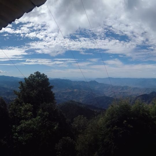
Cerro de Garnica National Park, National park in central Michoacán, Mexico
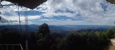
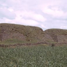
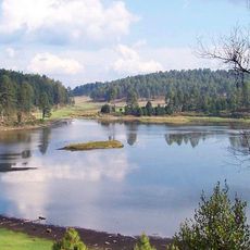
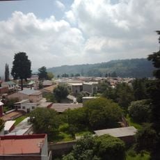
Cerro de Garnica is a national park set within the Trans-Mexican Volcanic Belt, featuring mountainous terrain and valley formations. The area covers nearly 2000 hectares with elevations reaching approximately 3000 meters.
Cerro de Garnica National Park was created by decree of President Lázaro Cárdenas on 5 September 1936. The founding decree contained an error: it stated the park's area as 1936, while the protected surface is actually 968 hectares. The park lies in the Sierra de Mil Cumbres, part of the Trans-Mexican Volcanic Belt, in the municipalities of Ciudad Hidalgo and Queréndaro.
The park lies in the Sierra de Mil Cumbres, and its pine and oak woods are part of the Trans-Mexican Volcanic Belt pine–oak forests ecoregion. Birdwatchers come for species such as the dusky hummingbird, the pine flycatcher and the golden-browed warbler, and 172 bird species have been recorded here. The name Garnica is the one the hill and the park carry locally.
The park lies 58 km east of Morelia, in the municipalities of Ciudad Hidalgo and Queréndaro, reached by road toward the Sierra de Mil Cumbres. Elevations run from 1,840 to 3,000 m, with temperate subhumid climate, mean 15 °C and 1,200–1,400 mm of rain a year. Streams such as El Venado cross the park; trails follow ridges and intermountain valleys, so plan for steep, uneven ground.
The park's founding decree of 5 September 1936 records its area as 1936 hectares, a figure repeated in the official text; the actual protected surface is 968 hectares, so the number in the decree is an error. The park lies in the Sierra de Mil Cumbres, and the stream El Venado, a tributary of the Chinapa River, drains part of it.
The community of curious travelers
AroundUs brings together thousands of curated places, local tips, and hidden gems, enriched daily by 94,775 contributors worldwide.