Michoacán, State in southwestern Mexico
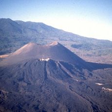
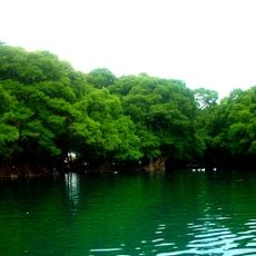
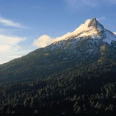
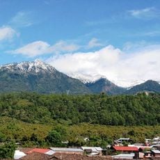
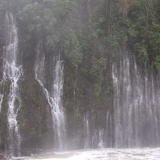
Michoacán is a state in southwestern Mexico with Pacific coastal plains and Sierra Madre mountain ranges. Lakes and volcanoes dot the interior while pine forests cover higher elevations and tropical vegetation marks lower zones.
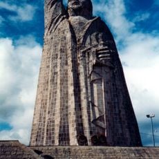
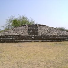
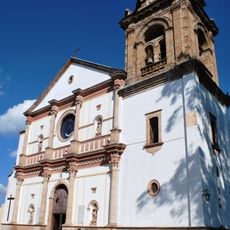
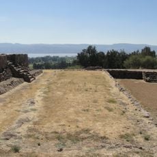
The area belonged to the Purépecha Empire before Spanish conquest and became a Mexican state after independence in 1824. Independence fighter José María Morelos came from this region and led important military campaigns.
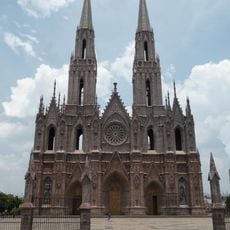
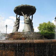
Purépecha communities preserve their own language and sell handmade ceramics and wood carvings at local markets following ancient patterns. Dancers and musicians perform at village festivals and church services wearing masks and playing traditional instruments.
Coastal areas tend to be hot and humid while mountain zones offer cooler weather and get chilly at night. Main highways connect larger towns but remote villages often require longer drives on narrow mountain roads.
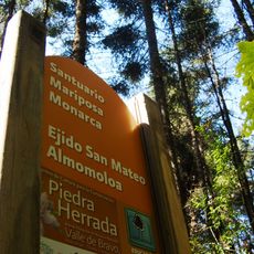
Millions of monarch butterflies overwinter each year in mountain forests and cover entire trees in dense orange layers. Visitors can observe the butterflies in protected reserves between November and March when they arrive from North America.
Location: Mexico
Inception: December 12, 1823
Capital city: Morelia
Elevation above the sea: 926 m
Reference: MIC
Shares border with: State of Mexico, Guerrero, Querétaro, Guanajuato, Jalisco, Colima
Website: http://michoacan.gob.mx
GPS coordinates: 19.21000,-101.91000
Latest update: December 14, 2025 20:24
Parícutin
47.7 km
Monarch Butterfly Biosphere Reserve
173.6 km
Morelia Cathedral
93.2 km
Cathedral of Our Lady of Guadalupe
94.5 km
Lago de Camécuaro National Park
83.3 km
Tzintzuntzan
58 km
Zoológico Benito Juárez
91.9 kmCapacha
187.4 km
Monument to Morelos on Janitzio Island
48.8 km
Nevado de Colima National Park
174.6 km
Pico de Tancítaro
48.8 km
Fuente de las Tarascas
94 kmBarranca del Cupatitzio National Park
28.3 km
Presidente InterContinental Hotel
94.5 km
La Campana
191 km
Michoacán-Guanajuato volcanic field
73.2 km
Edificio Reforma 222 Torre 1
94.5 km
Salto La Tzaráracua
23.8 kmAngamuco
60.3 km
Torre MAPFRE
94.5 km
Basilica of Nuestra Señora de la Salud, Pátzcuaro
46.6 km
Convento de Yuriria
138.4 kmEl Chanal
188.9 kmSan Miguel Ixtapan
190 km
Hyatt Regency Mexico City
94.5 km
Estadio Olímpico Universitario de Colima
188.3 km
Palacio de Gobierno de Michoacán
93.2 km
Huandacareo
109 kmVisited this place? Tap the stars to rate it and share your experience / photos with the community! Try now! You can cancel it anytime.
Discover hidden gems everywhere you go!
From secret cafés to breathtaking viewpoints, skip the crowded tourist spots and find places that match your style. Our app makes it easy with voice search, smart filtering, route optimization, and insider tips from travelers worldwide. Download now for the complete mobile experience.
A unique approach to discovering new places❞
— Le Figaro
All the places worth exploring❞
— France Info
A tailor-made excursion in just a few clicks❞
— 20 Minutes