Polotitlán Municipality, Administrative municipality in northwestern State of Mexico, Mexico.
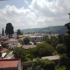
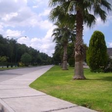
Polotitlán Municipality is an administrative region in northwestern State of Mexico spanning approximately 133 square kilometers. The area sits at roughly 2,318 meters elevation and features agricultural lands where corn and vegetables are the primary crops cultivated through irrigation.
The municipality received its formal status in 1852 and took its name from the Polo family, whose settlement began when Juan Luis Polo arrived in 1774. This early colonization established the agricultural traditions that continue to define the region today.
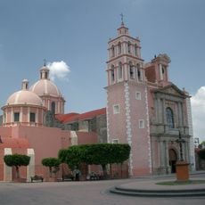
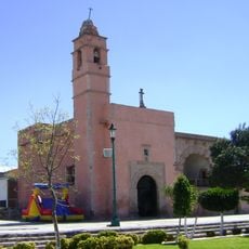
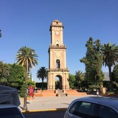
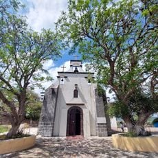
The central plaza features a bandstand from the Porfirio Díaz era with a clock tower honoring José Rafael Polo. This location serves as the gathering place for community celebrations and local events throughout the year.
Visit during the growing season to see the fields actively managed and rural life at its most visible. The elevation can require some adjustment time, so allow yourself to acclimate to the altitude when you arrive.
The name blends the Spanish surname Polo with the Nahuatl suffix titlán, meaning water or a place. This naming reflects how Spanish settlers and indigenous Nahuatl speakers shaped the identity of this region together.
The community of curious travelers
AroundUs brings together thousands of curated places, local tips, and hidden gems, enriched daily by 60,000 contributors worldwide.