Huichapan, Municipality and capital city in Hidalgo, Mexico
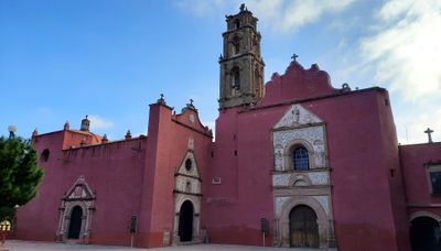
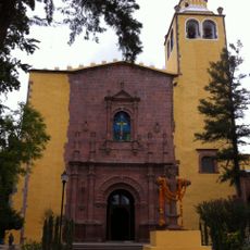
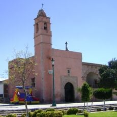
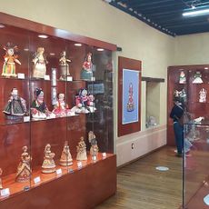
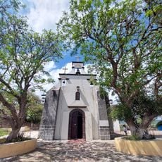
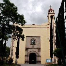
Huichapan is a municipality in Hidalgo in central-eastern Mexico situated at an elevation of 2,069 meters. The town features colonial architecture, a central plaza, and the Casa de la Cultura, a former Franciscan convent where local artisans display their handmade work.
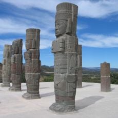
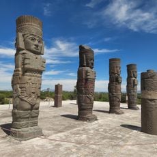
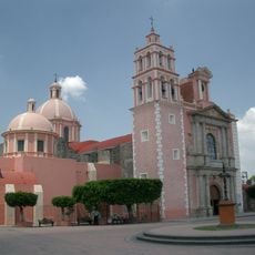
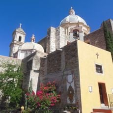
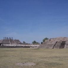
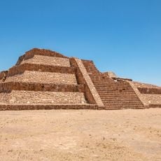
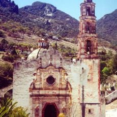
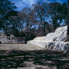
The settlement was founded during Spanish colonial times and carries traces of this period in its architecture and religious buildings. The area later became a seat of Inquisition activity, reflecting a significant chapter in the region's past.
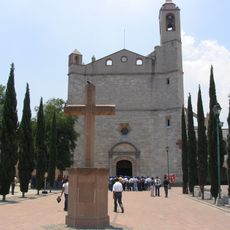
The main plaza displays a pink quarry stone cross from 1614 whose carvings blend Christian and indigenous symbols such as the sun and moon. This mixing of two traditions remains visible in how the space looks and feels today.
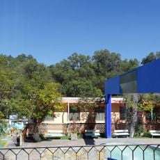
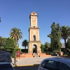
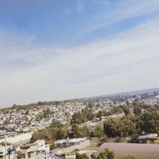
The town sits on a high plateau, so it is wise to allow time to adjust to the elevation. The Casa de la Cultura and central plaza are easily accessible on foot and form the heart of the town.
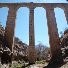
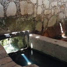
The El Saucillo aqueduct built in 1732 features a remarkably tall arch that stands out among similar colonial structures. This engineering feat from that era shapes the landscape and remains a point of pride for the region.
The community of curious travelers
AroundUs brings together thousands of curated places, local tips, and hidden gems, enriched daily by 60,000 contributors worldwide.