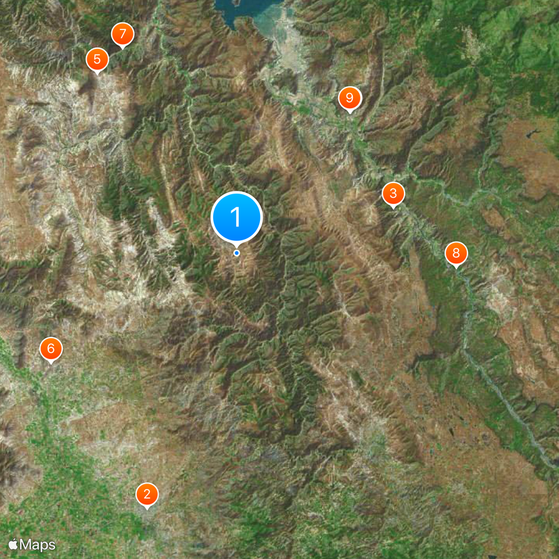
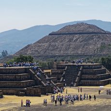
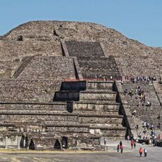
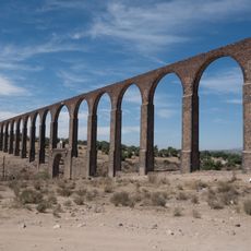
Hidalgo, State in Central Mexico
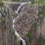
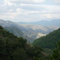
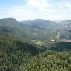
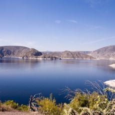
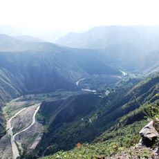
Hidalgo is a state in central Mexico that stretches from the plateau of the Mesa Central eastward into the ranges of the Sierra Madre Oriental. Its 84 municipalities cover varied terrain, from flat farmland through forested slopes to peaks that rise over 3,000 meters (about 10,000 feet).
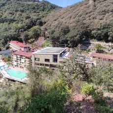
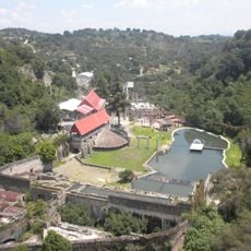
The territory became a separate entity in 1869 when it was carved out of the State of Mexico and named after Miguel Hidalgo y Costilla, known for his role in the independence struggle. International mining companies moved into Pachuca and surrounding districts during the second half of the 19th century to develop silver deposits.
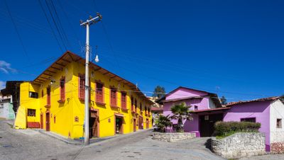
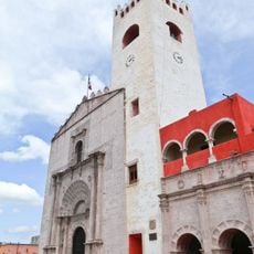
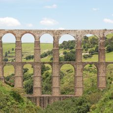
Mining traditions brought Cornish families to the region during the 19th century, and their culinary legacy survives in local pastry shops that still sell filled hand pies. Towns like Real del Monte show bilingual street signs and architectural styles that recall the industrial era.
Pachuca, the capital, sits about 90 kilometers (around 56 miles) north of Mexico City and is well connected by intercity buses. Local minibuses run between municipalities, with schedules that are more frequent in the mornings than late afternoons.
The region around Pachuca is often seen as the birthplace of Mexican football, since Cornish miners introduced the sport to mining communities in the late 19th century. Some historic cemeteries in the mining towns display gravestones in English, marking the international origins of early workers.
The community of curious travelers
AroundUs brings together thousands of curated places, local tips, and hidden gems, enriched daily by 60,000 contributors worldwide.