Sierra Gorda Biosphere Reserve, Biosphere reserve in Querétaro, Mexico.
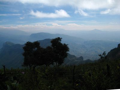
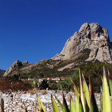
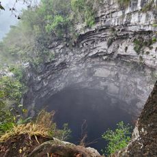
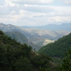
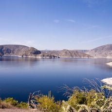
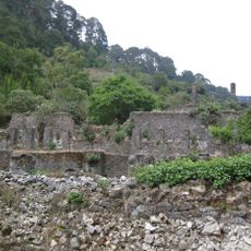
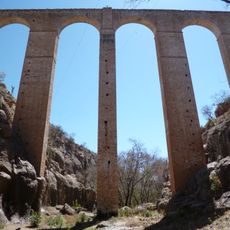
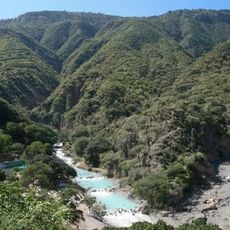
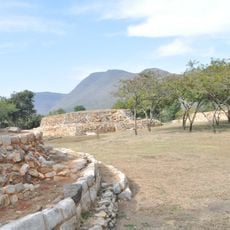
Sierra Gorda Biosphere Reserve is a protected mountain region in northeastern Querétaro state, covering 383,567 hectares across five municipalities. The area contains steep canyons, river valleys, and dense forests that support numerous ecosystems spanning different climate zones.
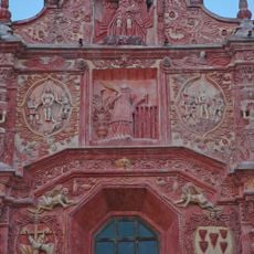
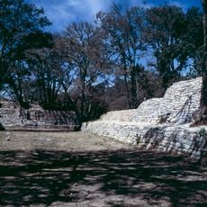
A presidential decree granted the area protected status in 1997, leading to its inclusion in the UNESCO Man and Biosphere program. Indigenous groups inhabited the mountains for centuries before Spanish missionaries established religious outposts during the 1700s.
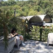
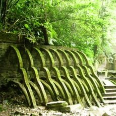
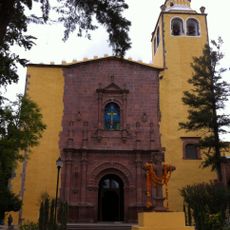
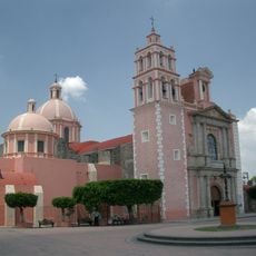
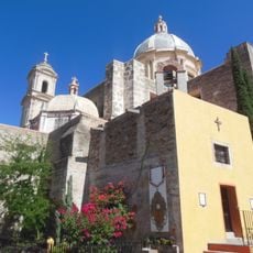
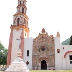
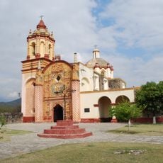
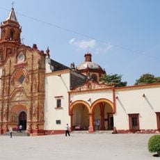
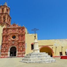
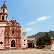
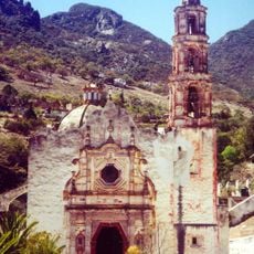
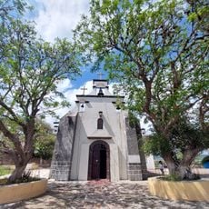
Five Franciscan missions from the 18th century stand throughout the region, combining European and indigenous design elements that remain active places of worship today. Local communities run eco-tourism initiatives and maintain traditional ways of living adapted over generations to this mountain environment.
Federal Highway 120 toward Querétaro and Federal Highway 69 toward San Luis Potosí form the main access routes into the region. Trails within the reserve range from easy walks to challenging mountain paths suitable for different fitness levels.
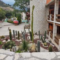
Elevation changes between 200 and 3,160 meters (656 and 10,367 feet) create different microclimates with annual rainfall ranging from 350 to 2,000 millimeters (14 to 79 inches). This variation allows desert cacti and cloud forests to coexist within the same protected territory.
The community of curious travelers
AroundUs brings together thousands of curated places, local tips, and hidden gems, enriched daily by 60,000 contributors worldwide.