Querétaro, State in central Mexico.
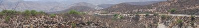
Querétaro is a state in central Mexico that covers more than 11,000 square kilometers, extending from the highlands of the Sierra Madre Oriental to the fertile lowlands in the south. The landscape shifts between mountain ranges in the north and wide valleys with moderate climate, where agricultural fields sit alongside industrial zones and small towns.
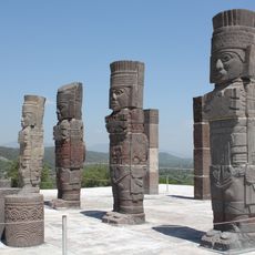
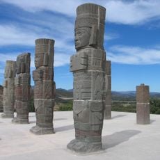
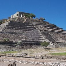
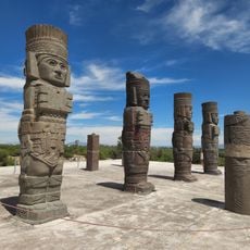
Spanish forces arrived in 1531 and defeated the indigenous Otomi and Chichimec peoples who lived throughout the territory. Decades later, the region became a key staging point for conflicts during the independence wars and the civil wars of the 19th century.
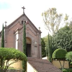
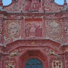
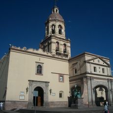
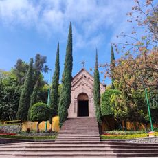
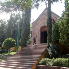
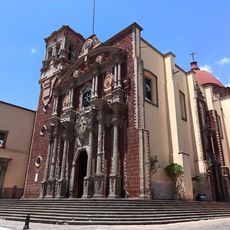
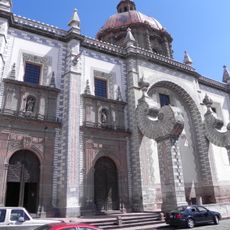
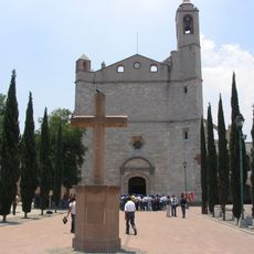
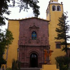
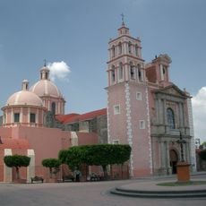
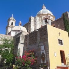
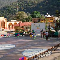
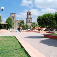
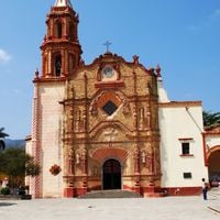
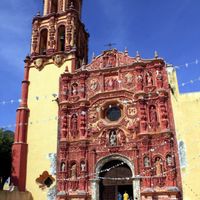
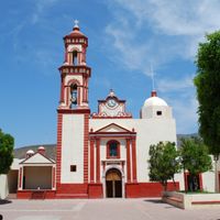
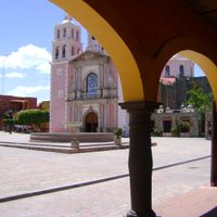
Colonial mission churches built by Franciscan monks during the 16th and 17th centuries still serve as gathering points for local communities during festivals and ceremonies. Traditional celebrations include religious processions, regional dances, and open-air markets where families from nearby towns sell handmade crafts and continue customs passed down through generations.
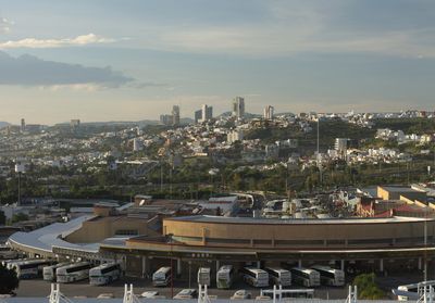
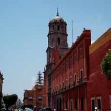
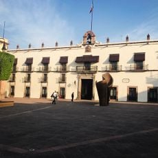
The capital, Santiago de Querétaro, lies centrally and provides access to nearby towns such as San Juan del Río and to the mountain areas of the Sierra Gorda. Rental cars or bus connections are helpful for moving around, since public transport options decrease in rural zones.
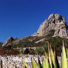
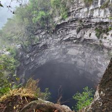
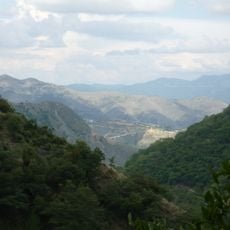
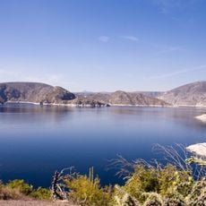
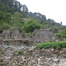
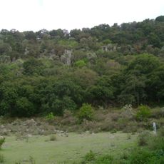
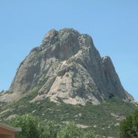
The Sierra Gorda Biosphere Reserve holds several microclimates within a small area, from semi-desert scrubland to cloud forests and canyons with tropical vegetation. Hikers can walk through different climate zones in a single day and observe plant species that normally grow hundreds of kilometers apart.
The community of curious travelers
AroundUs brings together thousands of curated places, local tips, and hidden gems, enriched daily by 60,000 contributors worldwide.