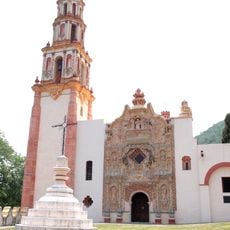
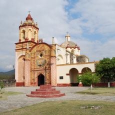
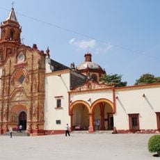
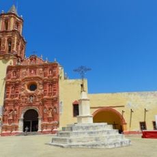
Los Mármoles National Park, National park in Hidalgo, Mexico
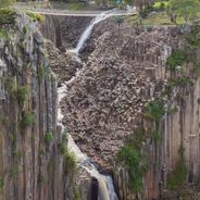
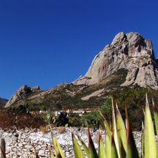
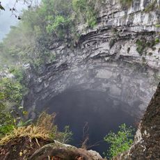
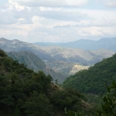
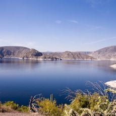
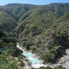
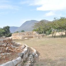
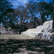
Los Mármoles is a mountain protected area in Hidalgo spanning multiple valleys and elevation zones. The terrain shifts between dense forests and open areas, with limestone formations shaping much of the landscape.
The protected area was established in 1936 as an early example of Mexico's effort to preserve mountain ecosystems. Its designation marked a turning point in regional conservation work.
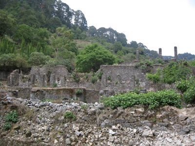
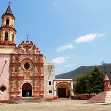
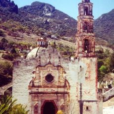
The park sits within the Sierra Madre Oriental, a region tied to indigenous trade routes and settlement patterns. Visitors walk through landscapes where local communities historically moved between valleys and highlands.
The area is temperate and humid with summer rains, so visitors should bring water-resistant clothing and sturdy footwear. It helps to check local conditions before arrival and stay flexible with plans.
The protected area hosts 18 native oak species and 11 bat species, including both blood-feeding and fruit-eating types. This biodiversity makes the region significant for conservation of these animals.
Location: Hidalgo
Inception: September 8, 1936
GPS coordinates: 20.97970,-99.31030
Latest update: December 6, 2025 17:40
Hidalgo state sits northeast of Mexico City, connecting volcanic landscapes with more than two thousand years of human settlement. The region extends from high-altitude pine forests to semi-arid canyons, with geological processes having created basalt columns, cave systems with thermal springs, and...
Peña de Bernal
70.9 km
Cave of Swallows
72.4 km
Sierra Gorda
1.1 km
Las Pozas
56.7 km
Franciscan Missions in the Sierra Gorda
29.6 km
Sierra Gorda Biosphere Reserve
54 km
Zimapán Dam
40.4 kmSótano del Barro
52.2 km
Church of San Miguel Arcángel
56.1 km
Los Reyes Magos monastery, Metztitlán
71.2 km
Grutas de Tolantongo
51.8 km
Santa María de la Asunción
79 km
Grutas Xoxafi
72.1 km
Tolantongo Canyon
51.6 km
Pahñu
65.6 km
San Francisco del Valle de Tilaco mission
23.6 km
San Miguel Concá mission
61.9 km
Santiago de Jalpan mission
29.7 km
Santa María del Agua de Landa mission
21.1 km
Nuestra Señora de la Luz de Tancoyol mission
46.9 km
Santuario del Señor de Mapethé
39.5 km
La Comunidad Building, Metztitlan
71.2 km
Reloj Monumental de Tecozautla
60 km
Tancama
22 km
La Tercena Building, Metztitlan
71.3 km
Las Ranas site, Querétaro
27 km
Delegacion Municipal De Boye
55.7 kmVisited this place? Tap the stars to rate it and share your experience / photos with the community! Try now! You can cancel it anytime.
Discover hidden gems everywhere you go!
From secret cafés to breathtaking viewpoints, skip the crowded tourist spots and find places that match your style. Our app makes it easy with voice search, smart filtering, route optimization, and insider tips from travelers worldwide. Download now for the complete mobile experience.
A unique approach to discovering new places❞
— Le Figaro
All the places worth exploring❞
— France Info
A tailor-made excursion in just a few clicks❞
— 20 Minutes