Celaya, Colonial settlement in Bajio region, Mexico.
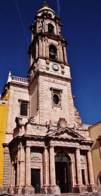
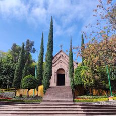
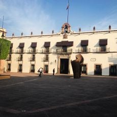
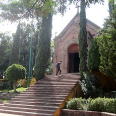
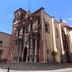
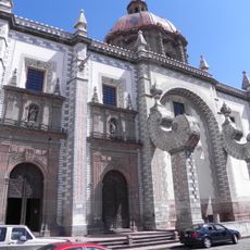
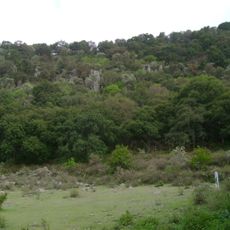
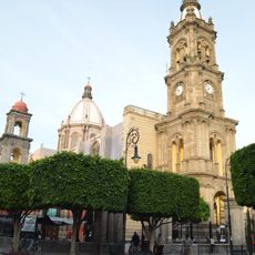
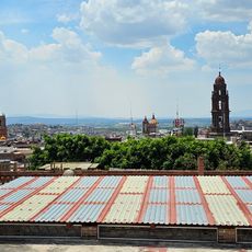
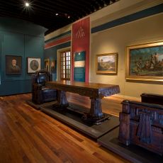
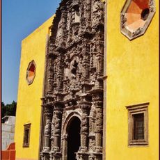
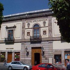
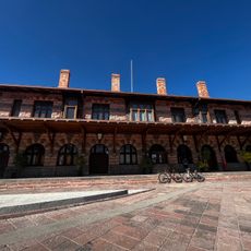
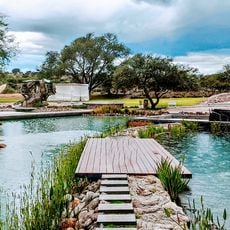
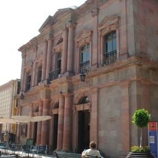
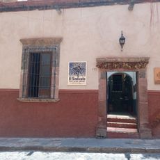
Celaya sits on flat land in the Bajío region and spreads along the banks of the Laja River, surrounded by agricultural fields and orchards. The streets in the center form a grid with churches from the 17th and 18th centuries, paved plazas, and low buildings with wooden doors and iron balconies.
The settlement was founded in 1570 as a Spanish outpost along the silver route connecting the mining areas of the north with the capital. In 1915, revolutionary forces fought here, and General Álvaro Obregón defeated Pancho Villa's cavalry in a battle that changed the course of the conflict.
Artisans here prepare cajeta, a sweet made from goat or cow milk cooked with sugar, which they sell in jars and wooden boxes. The recipes often pass from parents to children, and many small workshops open their doors to visitors who want to watch the process.
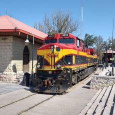
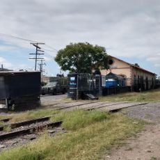
The position between the capital and the north makes the town a hub for buses and trains, so travelers often use it as a stopover. The center is walkable, and most points of interest lie within a few blocks of the main square.
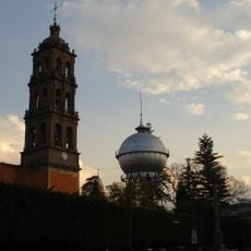
A water tower from 1908 stands in the middle of the town and carries the name Bola de Agua because of its round shape made of riveted iron plates. The structure came from Germany and was shipped piece by piece across the Atlantic before workers assembled it here.
Location: Celaya Municipality
Inception: October 12, 1570
Founders: Martín Enríquez de Almanza
Elevation above the sea: 1,767 m
Shares border with: Comonfort
Website: https://celaya.gob.mx
GPS coordinates: 20.52889,-100.81500
Latest update: December 12, 2025 23:03
Cerro de las Campanas
42.8 km
El Cerrito
38.9 km
Cerro de las Campanas
42.8 km
Casa de la Corregidora
44.9 km
Fuente de Neptuno
44.5 km
Teatro de la República
44.6 km
Emperor Maximilian Memorial Chapel
42.9 km
Cañada de la Virgen
38.5 km
St. Philip Neri Cathedral, Querétaro
44.2 km
Saint Rose of Viterbo Church and Convent
44.1 kmLa Casa de la Marquesa
44.5 km
Parque Joya La Barreta
43.1 km
Immaculate Conception Cathedral, Celaya
796 m
Templo del señor del Hospital
40.4 km
Museo La Esquina del Juguete popular Mexicano
43.7 km
Museo Regional de Querétaro
44.7 km
Parroquia Antigua
40.5 km
Former royal hospital of San Juan de Dios
43.6 km
Estadio Sección XXIV
39.8 km
Antigua Estacion Del Tren
44.3 km
Old Train Station
43.4 km
Museo de los Conspiradores
44.8 km
Museo de Sitio El Cerrito
39 km
Museo Fundación Santiago Carbonell
45.2 km
Valle de Los Senderos
45.3 km
Teatro Ángela Peralta
43.6 km
El Sindicato Centro Cultural Comunitario
43.5 km
Old Train Station
13.1 kmVisited this place? Tap the stars to rate it and share your experience / photos with the community! Try now! You can cancel it anytime.
Discover hidden gems everywhere you go!
From secret cafés to breathtaking viewpoints, skip the crowded tourist spots and find places that match your style. Our app makes it easy with voice search, smart filtering, route optimization, and insider tips from travelers worldwide. Download now for the complete mobile experience.
A unique approach to discovering new places❞
— Le Figaro
All the places worth exploring❞
— France Info
A tailor-made excursion in just a few clicks❞
— 20 Minutes