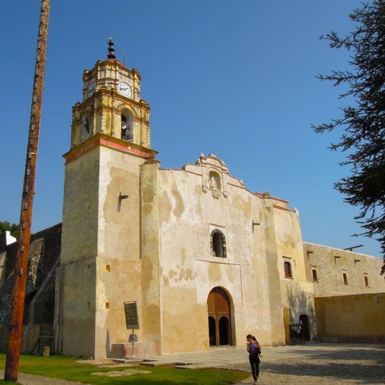
Tetela del Volcán, human settlement in Mexico
Location: Tetela del Volcán Municipality
Elevation above the sea: 2,231 m
Website: http://teteladelvolcan.gob.mx
GPS coordinates: 18.89306,-98.72972
Latest update: April 8, 2025 19:03
Popocatépetl
18.3 km
Chalcatzingo
22.5 km
Monasteries on the slopes of Popocatépetl
18.3 km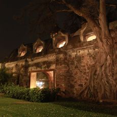
Hacienda Cocoyoc
26.9 km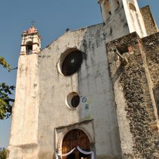
Former convent of Saint Dominic de Guzmán
25.5 km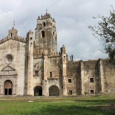
Former convent of Saint John the Baptist
14.1 km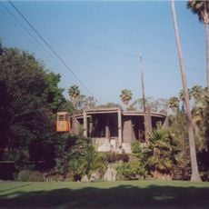
Estadio Olímpico de Oaxtepec
25.4 km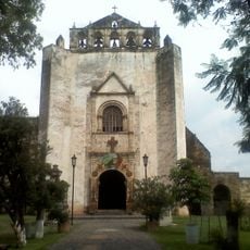
Former convent of Saint John the Baptist
27.4 km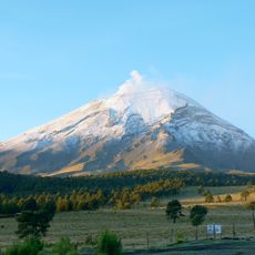
Glaciar Norte
18.9 km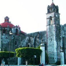
Ex Convento Franciscano San Diego de Alcalá, Cuautla
25.1 km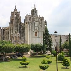
Convent of Saint Mathew the Apostle, Atlatlahucan
18.3 km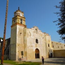
Former convent of Saint John the Baptist
133 m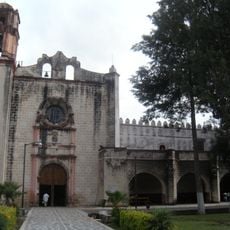
Former convent of Saint William
22.6 km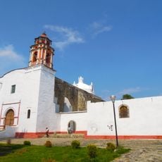
Former convent of Saint Dominic de Guzmán
4.2 km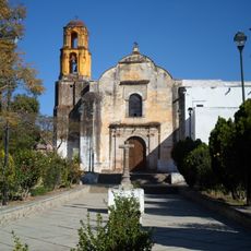
Convento de Santiago Apóstol
5.2 km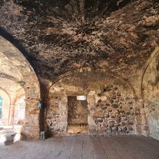
Ex Hacienda Coauixtla
27.3 km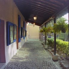
Museo del Oriente de Morelos "Casa de Morelos"
25.4 km
Museo de Sor Juana Inés de la Cruz
28.1 km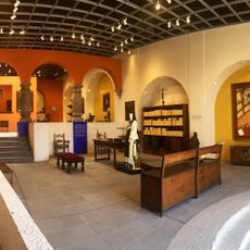
Museo Sor Juana Inés de la Cruz
15.1 km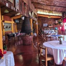
Aleman Munich
20.1 km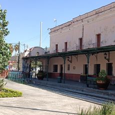
Museo vivencia ferrocarril 279
25.1 km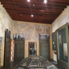
Historical Museum of East Casa Morelos
25.4 km
Letras Monumentales de Yecapixtla
14.3 km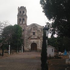
Exconvento Asunción De María
19 km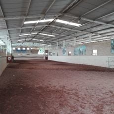
Lienzo Charro Del Dorado
26.2 km
La Cerería
27.7 km
La Castañeda
27.2 km
El Altillo
14.3 kmVisited this place? Tap the stars to rate it and share your experience / photos with the community! Try now! You can cancel it anytime.
Discover hidden gems everywhere you go!
From secret cafés to breathtaking viewpoints, skip the crowded tourist spots and find places that match your style. Our app makes it easy with voice search, smart filtering, route optimization, and insider tips from travelers worldwide. Download now for the complete mobile experience.

A unique approach to discovering new places❞
— Le Figaro
All the places worth exploring❞
— France Info
A tailor-made excursion in just a few clicks❞
— 20 Minutes
