La Malinche National Park, National park across Tlaxcala and Puebla states, Mexico.
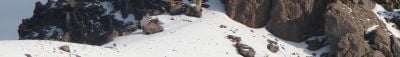
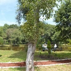
La Malinche National Park is a protected area spanning Tlaxcala and Puebla states with mountainous terrain and varied ecosystems across different elevations. The landscape includes pine and oak forests that shift in composition as altitude increases, creating distinct habitats for wildlife and vegetation.
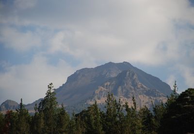
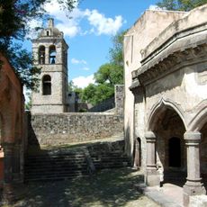
The park was established in 1938 and protects a dormant volcano that has held significance for local communities since pre-Hispanic times. The mountain's importance to early inhabitants continues to shape the region's identity today.
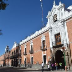
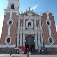
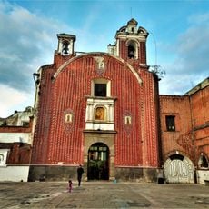
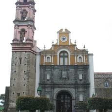
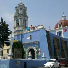
The park takes its name from a significant 16th-century figure who mediated between indigenous peoples and Spanish conquistadors. This name carries deep meaning for local communities and shapes how visitors understand the region's complex past.
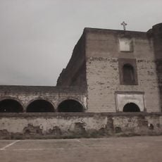
Visitors can stay in cabins or camping areas at Centro Vacacional IMSS La Malintzi, which also offers recreational facilities for exploring the park. This infrastructure makes it possible to spend multiple days in nature and access different parts of the protected area.
From the summit, visitors can observe three major Mexican volcanoes: Pico de Orizaba, Iztaccíhuatl, and Popocatépetl. On clear days these distant peaks become visible, offering a rare view of the region's volcanic geography.
Location: Tlaxcala
Location: Puebla
Inception: October 6, 1938
GPS coordinates: 19.21204,-98.04333
Latest update: December 8, 2025 19:52
Malinche
2.4 km
Forts of Loreto and Guadalupe
23 km
Basílica de Ocotlán
22.7 km
Our Lady of the Assumption Cathedral
23.4 km
Autódromo Miguel E. Abed
21.1 km
Estadio Tlahuicole
23.4 km
Tizatlán
23.1 km
Palacio de Gobierno de Tlaxcala
23.6 km
Parroquia de San José (Tlaxcala)
23.7 km
Pasaje Histórico 5 de Mayo
23.6 km
Parque nacional Xicoténcatl
23.6 km
Monumento a Tlahuicole
23.2 km
Ex Convento de Santa María de la Concepción Atlihuetzia
22.7 km
San Gabriel Cuauhtla
22.8 km
Tunel Xanenetla
23.6 km
Teatro Xicohténcatl
23.5 km
Centro Cultural Universitario
23.1 km
Museo Taurino de Huamantla
17.3 km
Parque ecológico Los Ladrillos
22.6 km
Saint Anthony of Padua Convent, Puebla city, Puebla state, Mexico
23.6 km
Cerro de la Luna
18.8 km
Monumento a Domingo Arenas
20.8 km
Templo de San Juan del Río
23.7 km
Holy Cross church, Santa Cruz Tlaxcala, Tlaxcala
19.4 km
Cerrito del Chiquihuite
21.3 km
Templo de Santa Inés
23.3 km
Centro Cultural de Zacatelco
20.7 km
Estación de Santa Cruz del Ferrocarril Mexicano
19.7 kmVisited this place? Tap the stars to rate it and share your experience / photos with the community! Try now! You can cancel it anytime.
Discover hidden gems everywhere you go!
From secret cafés to breathtaking viewpoints, skip the crowded tourist spots and find places that match your style. Our app makes it easy with voice search, smart filtering, route optimization, and insider tips from travelers worldwide. Download now for the complete mobile experience.
A unique approach to discovering new places❞
— Le Figaro
All the places worth exploring❞
— France Info
A tailor-made excursion in just a few clicks❞
— 20 Minutes