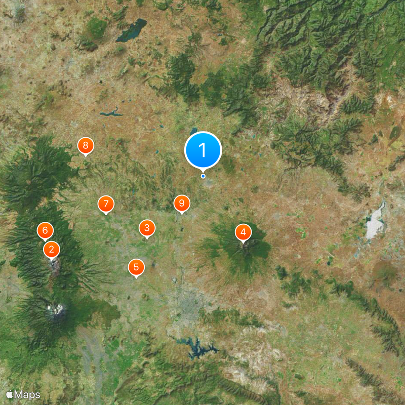
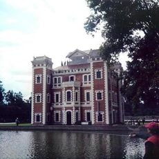
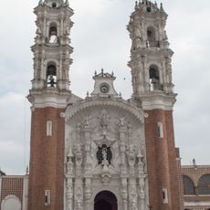
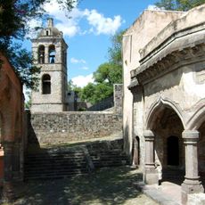
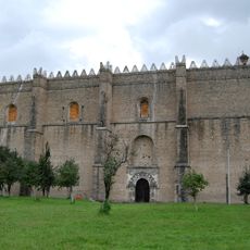
Tlaxcala, Federated state in central Mexico
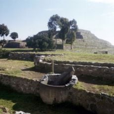
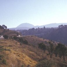
Tlaxcala sits between the states of Puebla, México, and Hidalgo, covering an area of around 4,000 square kilometers at an average elevation of roughly 2,400 meters (about 7,900 feet). The territory connects high plateaus with forested slopes and wide valleys used for farming.
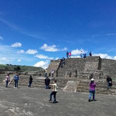
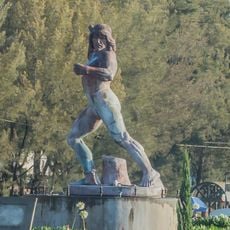
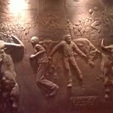
The Tlaxcalans resisted the Aztec Empire for two centuries and joined Hernán Cortés in 1519 to fight against their old enemies. This decision fundamentally changed the course of the conquest and brought the Spanish crucial military support.
The name comes from Nahuatl and means land of bread or maize, referring to the fields that have grown here for centuries. Many place names still carry this old language today and recall the time before the Spanish arrived.
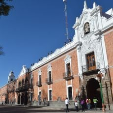
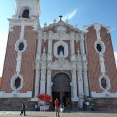
The capital Tlaxcala de Xicoténcatl connects by highways and rail lines to Mexico City and Puebla. The dry months between November and April work well for travelers exploring the region.
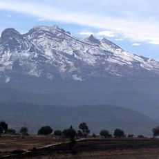
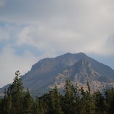
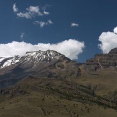
La Malinche volcano rises to 4,461 meters (about 14,636 feet), making it the fifth-highest peak in the country. The mountain bears the name of an interpreter who played an important role in the Spanish conquest.
The community of curious travelers
AroundUs brings together thousands of curated places, local tips, and hidden gems, enriched daily by 60,000 contributors worldwide.