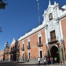
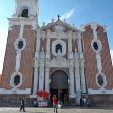
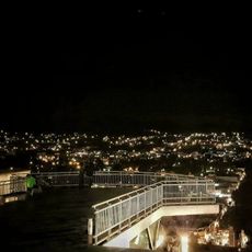
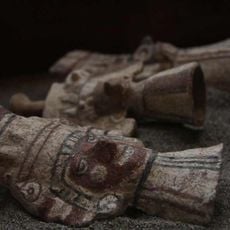
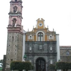
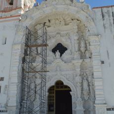
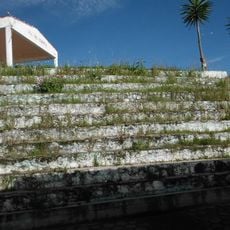
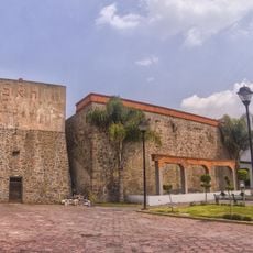
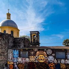
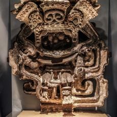
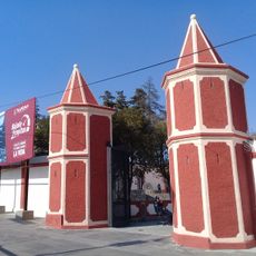
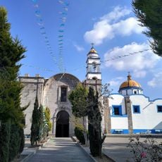
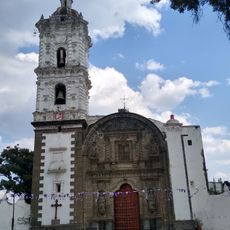
Parc national Xicoténcatl, National Park in Tlaxcala, Mexico.
Xicoténcatl National Park covers about 600 hectares of the Tlaxcala valley, including the historic centre of Tlaxcala and parts of Totolac. The Zahuapan River runs roughly 7 km through the park, and the land rises from 2,320 m at Cerro Tepepan to 2,460 m at Cerro Oztol.
The park was created in 1935 on the initiative of engineer Miguel Ángel de Quevedo, then head of the Autonomous Forestry Department, under Lázaro Cárdenas's Six-Year Plan. The decree set its boundaries from Tizatlán southwest to the Palacio de Zitlalpopoca and east to the spot where the brigantines for the siege of Mexico-Tenochtitlan were built, taking in all the ancient monuments within those lines.
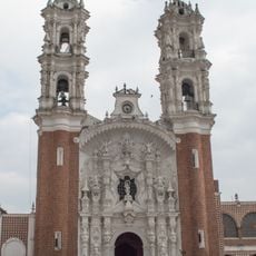
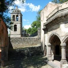
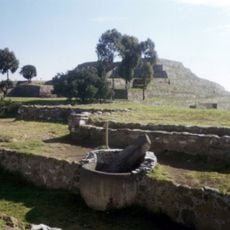
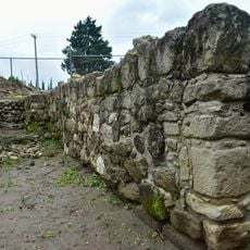
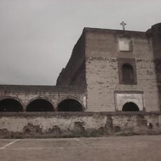
The park takes in Los Reyes Quiahuixtlán, San Francisco Ocotelulco and Santiago Tepeticpac, three of the old Tlaxcalan lordships, each now a locality of the municipalities of Tlaxcala and Totolac. Their churches and remaining pre-Hispanic structures stand inside the protected area, so the names of the lordships survive as parish and village names.
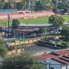
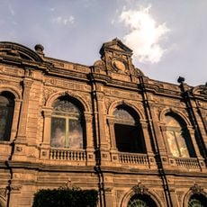
The park lies within the urban area of Tlaxcala and includes the city's historic centre, so it can be explored on foot. The Zahuapan River runs about 7 km through the state capital, marking the boundary between Tlaxcala and Totolac. Rain falls mainly in summer, with average highs of 24.3°C and lows of 7.2°C.
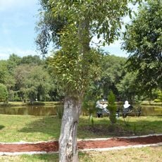
The area is home to over 380 plant and animal species, with several protected under national status. This diversity makes it a refuge for wildlife in the region.
The community of curious travelers
AroundUs brings together thousands of curated places, local tips, and hidden gems, enriched daily by 93,762 contributors worldwide.