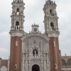
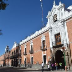
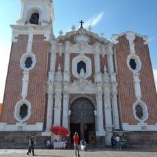
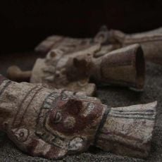
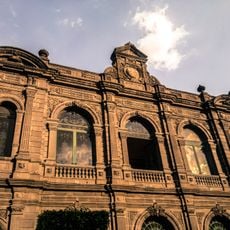
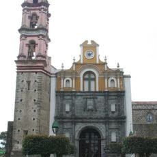
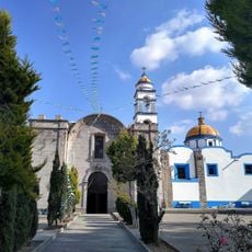
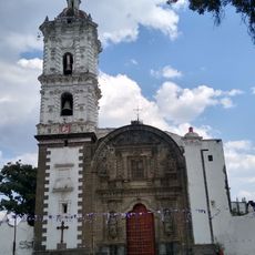
Señorío de Tlaxcala, Pre-Columbian city-state in Tlaxcala Municipality, Mexico
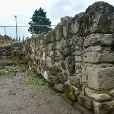
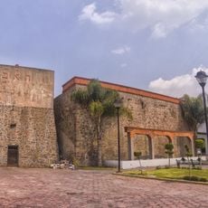
Señorío de Tlaxcala was a confederation of four districts situated on elevated terrain in central Mexico with a developed administrative structure. The four city sections of Tepeticpac, Ocotelulco, Tizatlan, and Quiahuixtlan functioned as semi-independent domains under a shared council.
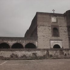
The territory emerged in 1348 as an independent confederation and maintained its autonomy through military strength and strategic alliances while the Aztecs expanded nearby. This independence lasted until 1520, when outside forces fundamentally altered the local order.
The society operated under a merit-based council system where leaders earned positions through military achievements and contributions to the community.
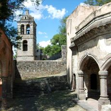
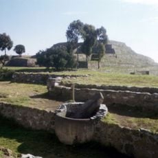
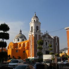
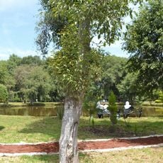
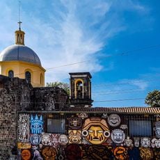
The landscape consists of forested hillsides with multiple elevated plazas positioned across the terrain. The different districts lie close enough together to visit in a single day, though some paths can be quite steep.
The inhabitants sent military forces that marched as far as Guatemala, demonstrating their strength well beyond their borders. These expeditions took place even after European arrival and aided in reshaping the entire region.
Location: Tlaxcala Municipality
GPS coordinates: 19.31695,-98.23823
Latest update: December 8, 2025 08:21
Cacaxtla
13.5 km
Basílica de Ocotlán
1.1 km
Our Lady of the Assumption Cathedral
344 m
Xochitecatl
14.2 km
Estadio Tlahuicole
1.3 km
Tizatlán
3.2 km
Palacio de Gobierno de Tlaxcala
78 m
Parroquia de San José (Tlaxcala)
169 m
Escalinatas de los héroes
533 m
Ocotelulco
1.5 km
Parque nacional Xicoténcatl
48 m
Monumento a Tlahuicole
1.5 km
Ex Convento de Santa María de la Concepción Atlihuetzia
8.9 km
San Gabriel Cuauhtla
757 m
Teatro Xicohténcatl
205 m
Centro Cultural Universitario
1.8 km
Parque ecológico Los Ladrillos
14.3 km
Monumento a Domingo Arenas
11.3 km
Holy Cross church, Santa Cruz Tlaxcala, Tlaxcala
10.2 km
San Nicolás de Bari Church, Panotla
3 km
Cerrito del Chiquihuite
13 km
Centro Cultural de Zacatelco
11.2 km
Zona Arqueológica de Ocotelulco
1.4 km
Site Museum Cacaxtla
13.3 km
Estación de Santa Cruz del Ferrocarril Mexicano
9.5 km
Centro de las Artes Tlaxcala
17.5 km
Parroquia de San Martín de Tours, Xaltocan, Tlaxcala
12.3 km
Parroquia de San Dionisio Yauhquemehcan
11.5 kmReviews
Visited this place? Tap the stars to rate it and share your experience / photos with the community! Try now! You can cancel it anytime.
Discover hidden gems everywhere you go!
From secret cafés to breathtaking viewpoints, skip the crowded tourist spots and find places that match your style. Our app makes it easy with voice search, smart filtering, route optimization, and insider tips from travelers worldwide. Download now for the complete mobile experience.
A unique approach to discovering new places❞
— Le Figaro
All the places worth exploring❞
— France Info
A tailor-made excursion in just a few clicks❞
— 20 Minutes