Tlaxcala Municipality, Municipal administrative region in Tlaxcala, Mexico
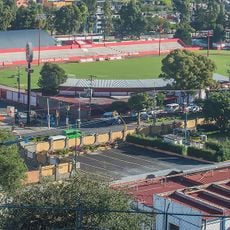
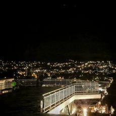
Tlaxcala Municipality is an administrative region in central Mexico encompassing residential neighborhoods, commercial areas, and administrative centers serving around 100,000 inhabitants. Urban and suburban zones blend together to form the local community structure.
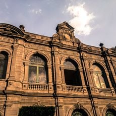
The municipality took its present administrative form after Mexico's independence, establishing itself as one of the key divisions within Tlaxcala state. Over two centuries of development have shaped its current governance and community structure.
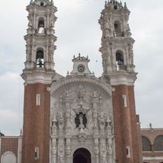
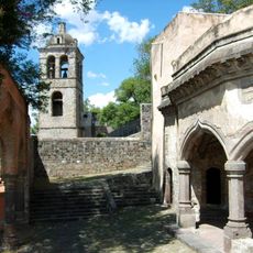
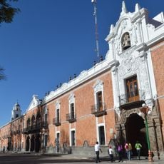
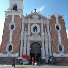
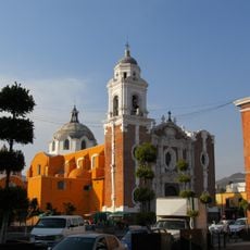
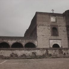
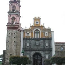
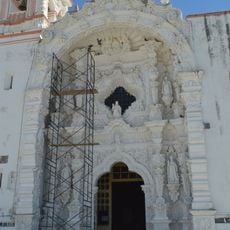
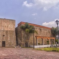
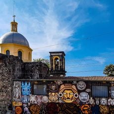
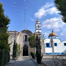
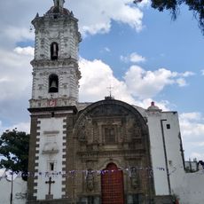
Roman Catholic faith shapes daily life and local celebrations throughout the area, visible in the many churches and shrines scattered across neighborhoods. These traditions connect families and communities during festivals and religious observances.
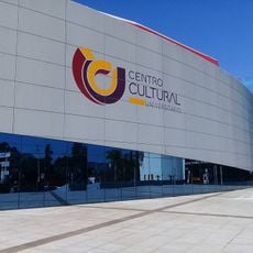
The municipality operates within the Tlaxcala-Apizaco metropolitan area, offering administrative services, schools, and public infrastructure accessible throughout its neighborhoods. Markets, shops, and local services are distributed across different areas for convenient access.
This is the most populous of Tlaxcala state's 60 municipalities, concentrating a significant share of the regional population. Its central importance has made it a key administrative and economic hub for the entire region.
The community of curious travelers
AroundUs brings together thousands of curated places, local tips, and hidden gems, enriched daily by 60,000 contributors worldwide.