Enable Location

We need your location to show you interesting places around you

Discover nearby places

Find interesting locations and hidden gems around you

Precise directions

Get accurate directions and distances to places

Your location is never shared with other users. It's only used when you tap the location button.

Zacatlán

Log in to your account

Start exploring — it's free

Trusted by 61,457 travelers worldwide

Continue with Google
Continue with Apple
or

We will send you a code to connect

By continuing, you accept our Terms and Conditions and our Privacy Policy

Check your inbox

We've sent a pincode in your inbox. Please enter the code below.

Zacatlán

Zacatlán, Mountain city in Sierra Norte de Puebla, Mexico.

Description

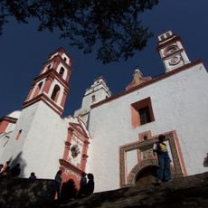
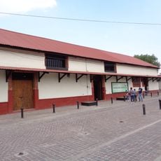
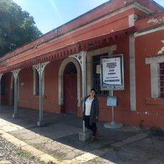
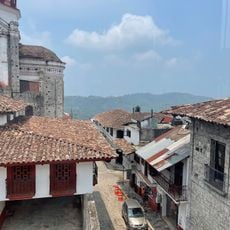
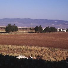
Zacatlán sits high in the Sierra Norte at 2,337 meters elevation, defined by stone-paved streets, red-tiled roofs, and widespread apple orchards throughout the landscape. The city spreads across mountainous terrain with traditional buildings that shape its character.

History

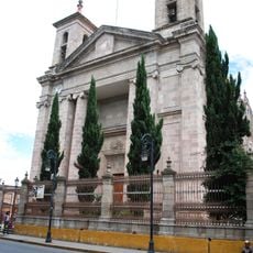
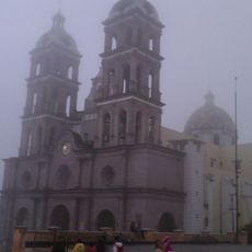
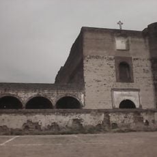
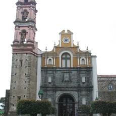
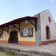
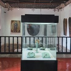
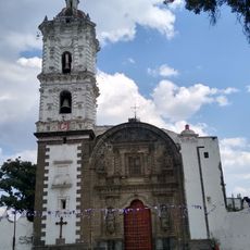
A Franciscan monastery from 1567 stands as the oldest religious structure in the region, displaying colonial-era murals within its walls. The settlement later developed as a mountain community centered on apple cultivation.

Culture

The annual apple festival shapes community life here, celebrated for generations as an important gathering where the city fills with visitors exploring local produce and celebrations.

Practical

Federal Highway 119 connects the city to major centers, with regular bus services to nearby larger towns and Mexico City. The mountain location can be cold and misty, especially in early mornings, so dress accordingly for the elevation.

Did you know?

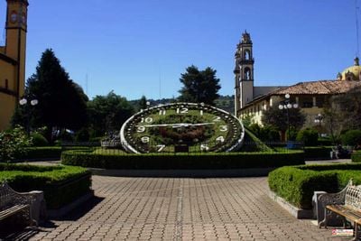
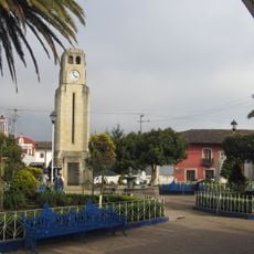
The Centenario Clock company from 1909 was Latin America's first clock factory and created the double-sided flower clock in the main square. The workshop and its creation remain visible parts of the city today, showing the mechanical craftsmanship from that era.

Elevation above the sea
2,337 m
GPS coordinates
19.93333,-97.96056
Latest update
December 6, 2025 16:04

AroundUs brings together thousands of curated places, local tips, and hidden gems, enriched daily by 60,000 contributors worldwide. Discover all places nearby (Zacatlán Municipality).

Discover Mexico: sculpture gardens, caves, islands and Mayan ruins

Mexico offers much more than the usual travel spots. This collection includes sculpture gardens, caves, islands, colonial towns, volcanoes, Mayan sites, oases, lakes, and protected areas across the country. You will find mineral pools in Oaxaca, desert landscapes in Sonora, underground caves,...

« Zacatlán - Mountain city in Sierra Norte de Puebla, Mexico » is provided by Around Us (aroundus.com). Images and texts are derived from Wikimedia project under a Creative Commons license. You are allowed to copy, distribute, and modify copies of this page, under the conditions set by the license, as long as this note is clearly visible.

Discover hidden gems everywhere you go!

From secret cafés to breathtaking viewpoints, skip the crowded tourist spots and find places that match your style. Our app makes it easy with voice search, smart filtering, route optimization, and insider tips from travelers worldwide. Download now for the complete mobile experience.

Around Us App Screenshot

A unique approach to discovering new places

Le Figaro

All the places worth exploring

France Info

A tailor-made excursion in just a few clicks

20 Minutes

Around Us
Travel Guide & Maps
Download

Send to your phone

QR Code
1

Open the camera app on your mobile.

2

Point at the QR code with your camera. A notification will appear.

3

Tap the notification to open the link.