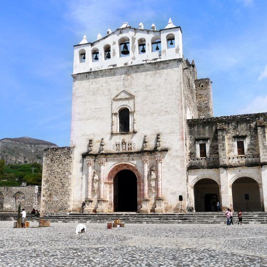
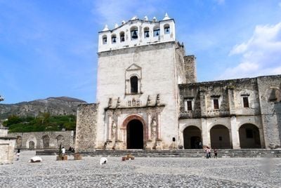
Metztitlán, locality in Hidalgo, Mexico
The community of curious travelers
AroundUs brings together thousands of curated places, local tips, and hidden gems, enriched daily by 60,000 contributors worldwide.

Basaltic Prisms of Santa María Regla
44.3 km
El Chico National Park
42.1 km
San Nicolás Tolentino Temple and Ex-Monastery
39.9 km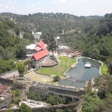
Hacienda de Santa María Regla
44 km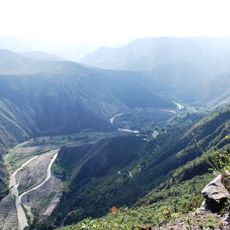
Reserva de la Biósfera de la Barranca de Metztitlán
8.5 km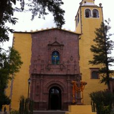
Church of San Miguel Arcángel
48.8 km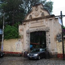
Hacienda de San Miguel Regla
45.8 km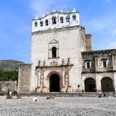
Los Reyes Magos monastery, Metztitlán
1.1 km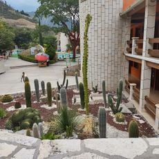
Grutas de Tolantongo
23.8 km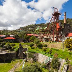
Acosta Mine Museum
49.7 km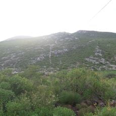
Grutas Xoxafi
35.2 km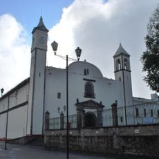
Franciscan monastery of Zacatlán
17.2 km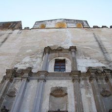
Templo y exconvento de San Agustín
34.6 km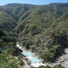
Tolantongo Canyon
22.1 kmMetztitlan Canyon
16.2 km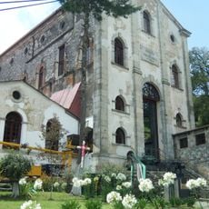
La Dificultad Mine Museum
49.8 km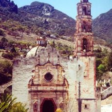
Santuario del Señor de Mapethé
40.2 km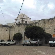
La Comunidad Building, Metztitlan
1.2 km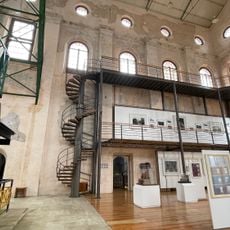
Site Museum and Interpretation Center Mina La Difficulty
49.7 km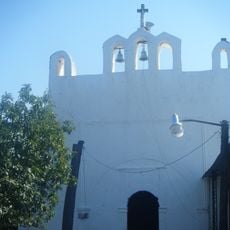
Capilla de Santa María Xoxoteco
16.3 km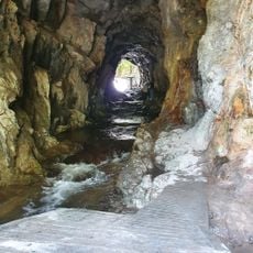
San Antonio mine
40.6 km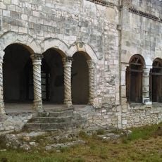
La Tercena Building, Metztitlan
1.1 km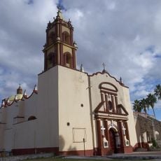
San Bartolomé Parish
39.9 km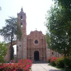
San Miguel Arcangel Parish
39.9 km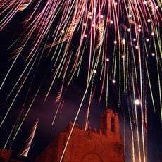
Santiago Apóstol Parish
39.9 km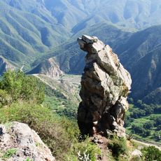
Peña del Aire
42.8 km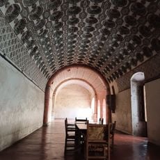
Ex convento de Actopan
39.9 km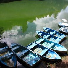
El Bosque de las Truchas
46.3 kmDiscover hidden gems everywhere you go!
From secret cafés to breathtaking viewpoints, skip the crowded tourist spots and find places that match your style. Our app makes it easy with voice search, smart filtering, route optimization, and insider tips from travelers worldwide. Download now for the complete mobile experience.

A unique approach to discovering new places❞
— Le Figaro
All the places worth exploring❞
— France Info
A tailor-made excursion in just a few clicks❞
— 20 Minutes
