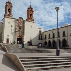
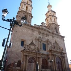
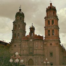
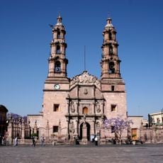
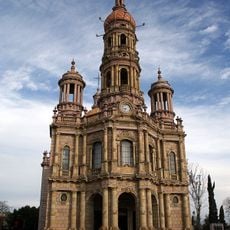
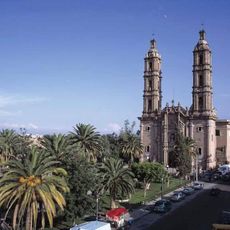
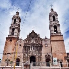
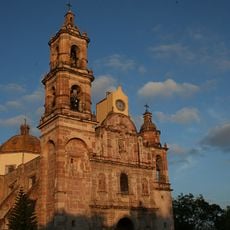
Zacatecas, State in north-central Mexico
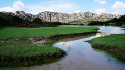
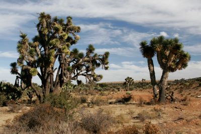
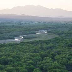
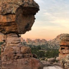
Zacatecas is a state in north-central Mexico marked by dry highlands and mountain chains along its edges. The terrain alternates between flat grasslands and steep slopes with scattered settlements in the valleys.
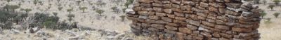
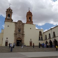
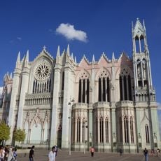
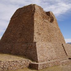
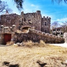
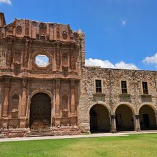
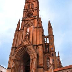
Silver discoveries in the 1540s drew Spanish colonists who founded mines and settlements across the region. Mining activity shaped the economy and society for centuries into modern times.
Mining traditions shaped local crafts still visible in silverwork and woven textiles found across many towns. Regional markets display produce from nearby valleys including dried chiles and fresh fruits from orchards.
Travel between towns requires patience as distances are long and roads cross mountain passes. Highland conditions bring cool evenings even during warm months, so layered clothing helps.
Many old mine shafts lie hidden in hillsides and now host bat colonies. Rural areas produce more beans than any other region in Mexico, supplying markets across the country.
The community of curious travelers
AroundUs brings together thousands of curated places, local tips, and hidden gems, enriched daily by 60,000 contributors worldwide.