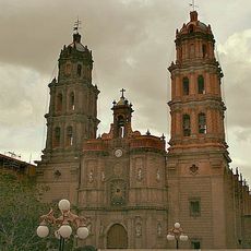
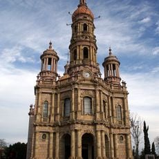
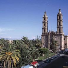
San Luis Potosí, Mexican state in Central Mexico.
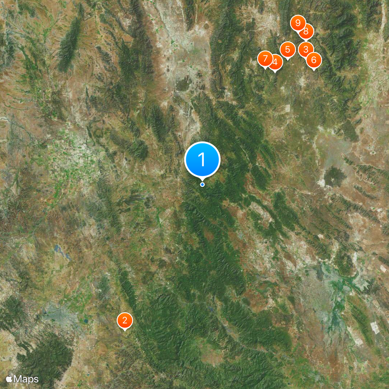
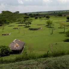
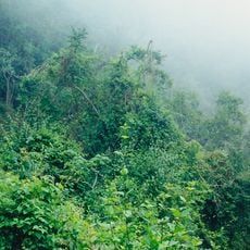
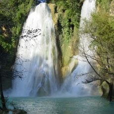
San Luis Potosí is a state in central Mexico that reaches across mountain chains, dry highlands and tropical valleys toward the east. The landscape changes from bare hills and desert shrubs in the western Altiplano to green gorges and rivers in the Huasteca region, where waterfalls and palm groves appear.
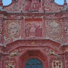
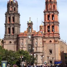
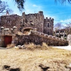
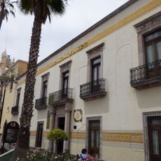
Spanish settlers founded the first towns in the late 16th century after discovering gold and silver in the Altiplano mountains. The name connects Louis IX of France with the mines of Potosí in Bolivia, whose mineral wealth served as a model.
Regional celebrations follow the Catholic calendar but include dances, songs and rituals inherited from pre-Hispanic communities, particularly in the Huasteca municipalities where instruments like the quijada still accompany ceremonies. Tacos and enchiladas potosinas appear in family meals prepared with local recipes that call for dried chiles, handmade cheese and tortillas shaped on the spot.
Ponciano Arriaga airport in the capital city serves flights to larger Mexican destinations, while highways run north toward Monterrey, south toward Mexico City and west toward the border. Travelers should account for altitude changes, as the western highlands sit above 2000 meters (6500 feet) while the Huasteca drops to sea level.
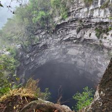
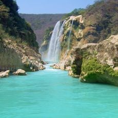
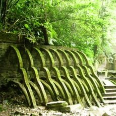
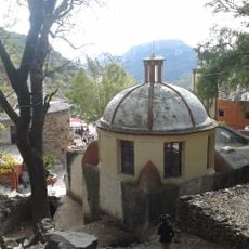
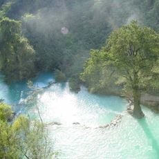
The Huasteca Potosina includes waterfalls like Tamul and Minas Viejas that flow through turquoise pools surrounded by thick vegetation, often reached by boat or footpath. The Altiplano holds abandoned mining sites from the 17th century with stone walls and shafts cut into mountain slopes.
The community of curious travelers
AroundUs brings together thousands of curated places, local tips, and hidden gems, enriched daily by 60,000 contributors worldwide.