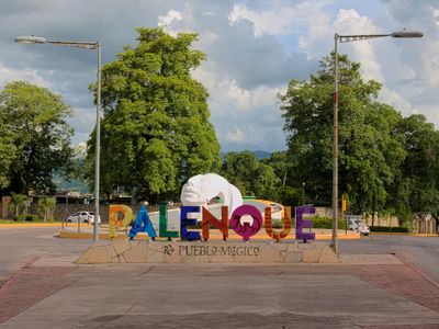
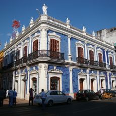
Palenque, Municipality center in Chiapas, Mexico
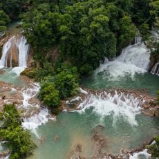
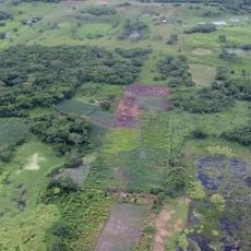
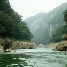
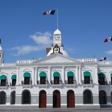
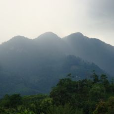
Palenque is the administrative center of a municipality of the same name in northern Chiapas, surrounded by tropical rainforest and rolling terrain. The central town sits at around 60 meters above sea level and holds just under half the municipality's population, while hundreds of smaller settlements spread across a wide territory.
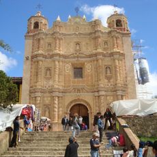
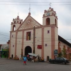
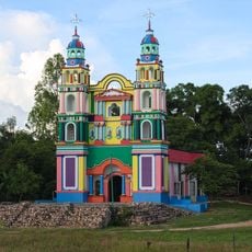
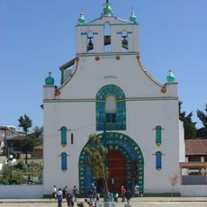
Pedro Lorenzo founded the settlement in 1567 during Spanish expansion into the region. Six years later the town received three ceremonial bells, one of which remains on display in the main church today.
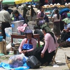
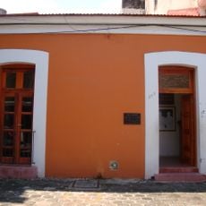
The name comes from the Spanish word for fortified village and refers to the early colonial settlement pattern of this area. Visitors today notice the presence of indigenous Maya descendants living in surrounding communities who continue regional craft traditions and cooking methods.
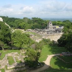
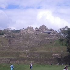
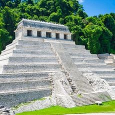
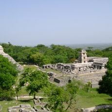
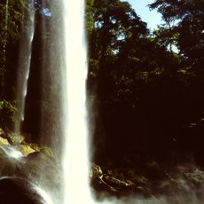
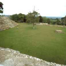
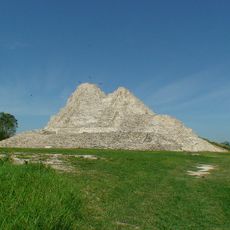
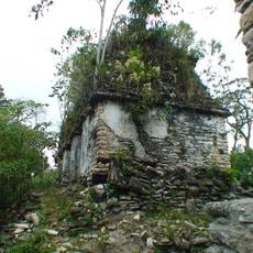
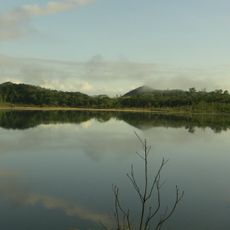
The central town sits just a few kilometers from the archaeological ruins and serves as a starting point for visits to the Maya sites and surrounding jungle. The tropical climate brings high humidity year-round, with the rainy season from June to October bringing heavier downpours.
Howler monkeys sometimes venture into residential streets, drawn by food after large portions of surrounding forest have been cleared. The animals move between houses and search for fruit in gardens, a direct sign of their lost natural habitat.
The community of curious travelers
AroundUs brings together thousands of curated places, local tips, and hidden gems, enriched daily by 60,000 contributors worldwide.