Chiapas Highlands, Mountain range in southeastern Mexico.
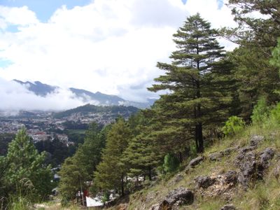
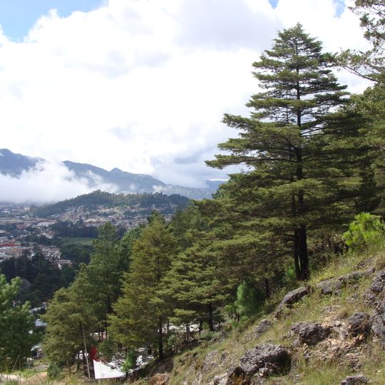
The Chiapas Highlands are a limestone mass with extrusive volcanic rocks at the highest peaks, covering over 11,000 km2 and extending 160 km along a northwest–southeast axis. Elevations range from 300 to 2,898 meters. The northern and eastern slopes drain into the Usumacinta River, while the southern slopes and the Chiapas Depression are drained by the Grijalva. The limestone erodes into a karst landscape with sinkholes, caverns, and underground drainage.
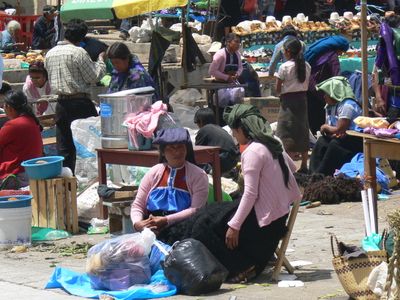
The highlands were home to Tsotsil and Tseltal Maya communities long before Spanish contact. In 1524, Spanish conquistadors entered the region, and San Cristóbal de las Casas was founded in 1528 as an administrative center. Colonial rule reorganized settlement and governance, but the indigenous languages and customs endured in the rural municipalities.
Local communities speak Tsotsil and Tsetsal languages, and you can see their traditions reflected in daily life through farming methods, handmade textiles, and the way villages are organized. These practices shape how the landscape is used and how people move through it.
Fog or mist occurs 13 to 17 days per month in winter around San Cristóbal de las Casas, usually clearing during the day. Nighttime temperatures are cool, with frost on only 2 to 3 days a year between December and February. The wet season runs May to October, when rain concentrates; September 1998 recorded 525.8 mm.
The region contains an extensive network of sinkholes and underground caverns formed by subterranean water systems. These hidden water features shape the landscape in ways that visitors may not always see from the surface.
The community of curious travelers
AroundUs brings together thousands of curated places, local tips, and hidden gems, enriched daily by 92,819 contributors worldwide.