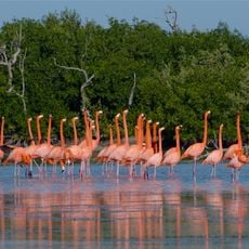
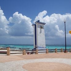
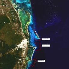
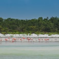
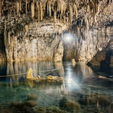
Cabo Catoche, Maritime cape in Quintana Roo, Mexico.
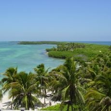
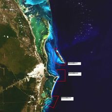
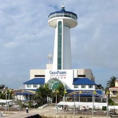
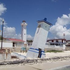
Cabo Catoche is the northernmost point of the Yucatán Peninsula, in the municipality of Isla Mujeres, about 53 km north of Cancún. Its lighthouse marks the boundary, recognized by the International Hydrographic Organization, between the Gulf of Mexico to the west and the Caribbean Sea to the east. West of the cape lie Holbox Island and the Yalahau lagoon, a freshwater lagoon so deep it appears black in satellite images.
On 4 March 1517 Francisco Hernández de Córdoba's expedition made the first intentional European landing in present-day Mexico at Cabo Catoche. Invited ashore with the words "cones cotoch", the Spaniards were ambushed; thirteen were wounded and fifteen Maya killed. Two captives, baptised Julián and Melchor, later served as interpreters. A 1511 shipwreck had already brought Gerónimo de Aguilar and Gonzalo Guerrero to these shores.
The name Catoche comes from the Mayan word 'cotoch', meaning 'our houses, our homeland'. This term reflects the deep connection between the place and its indigenous roots.
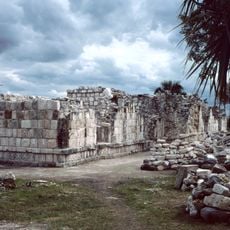
Cabo Catoche and the ruins of Ekab and Boca Iglesia can be reached by sea; there is no road access to the cape itself. Boats leave from the Holbox area, and the crossing is exposed, so pick a calm day. The cape lies about 53 km north of Cancún, in the Isla Mujeres municipality.
The waters surrounding this location host one of the world's largest gatherings of whale sharks during certain months. This seasonal marine phenomenon draws visitors hoping to witness these gentle giants moving through the open waters.
The community of curious travelers
AroundUs brings together thousands of curated places, local tips, and hidden gems, enriched daily by 93,762 contributors worldwide.