
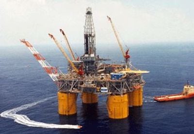
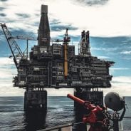
Mars, Offshore oil platform in Gulf of Mexico, US
The Mars tension leg platform stands 3,250 feet from the seafloor to the drilling rig crown block, featuring four circular steel columns connected by pontoons.
Shell initiated the Mars platform project in 1992, commencing production in 1996 at what was then the deepest tension leg platform installation.
The Mars platform creates employment opportunities for Louisiana residents, supporting local communities through direct jobs and related service industries in New Orleans.
The platform transports extracted oil through an 18-inch pipeline extending 116 miles to Clovelly, Louisiana, while natural gas flows through a separate 14-inch line.
The structure withstood Hurricane Katrina in 2005 and resumed operations ahead of schedule in 2006, demonstrating exceptional engineering resilience.
Location: New Orleans
GPS coordinates: 28.16950,-89.22290
Latest update: March 22, 2025 00:12
Offshore oil platforms are extraction facilities operating up to 2,450 meters below sea level. From the North Sea to the Sea of Okhotsk, from the Gulf of Mexico to the Brazilian coasts, these structures play a significant role in global energy production. Troll A in Norway rises 472 meters from the seabed, while Berkut in Russia supports 200,000 tonnes of structure weight against Arctic conditions. Each installation adapts to specific constraints based on its location. Hibernia off Newfoundland has withstood iceberg impacts since 1997, whereas Thunder Horse in the Gulf of Mexico produces 250,000 barrels daily at nearly 2000 meters depth. In Brazil, Petrobras' P-51 operates at 1800 meters below water, and the Ekofisk complex in the North Sea comprises 30 interconnected platforms. These examples demonstrate the diversity of technologies used for oil and gas extraction in various marine environments.
Fort Jackson
134.2 km
Mississippi River – Gulf Outlet Canal
198.6 km
Fort St. Philip
135 km
Fort Proctor
194.1 km
Fort Livingston
141.7 km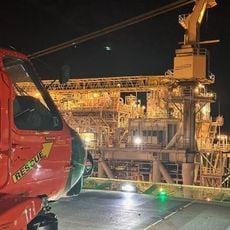
Atlantis PQ
134.3 km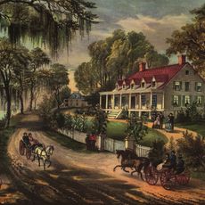
Woodland Plantation
168.1 km
Grand Isle State Park
140.7 km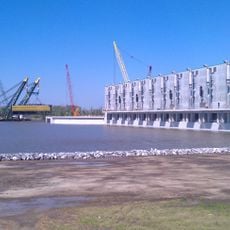
Gulf Intracoastal Waterway West Closure Complex
200.9 km
Breton National Wildlife Refuge
189.3 km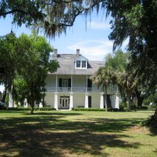
Kenilworth Plantation House
197.6 km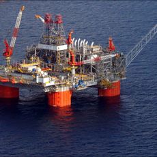
Thunder Horse PDQ
71.8 km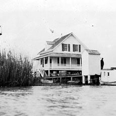
Pass A L'Outre Light
115.1 km
St. Bernard State Park
199.6 km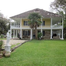
Mary Plantation House
197.1 km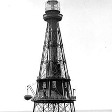
Ship Shoal Light
94.3 km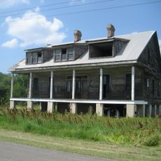
Harlem Plantation House
175 km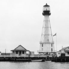
South Pass Range Lights
94.3 km
Bayou Grande Cheniere Mounds
157.8 km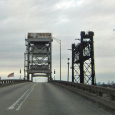
Judge Perez Bridge
204.4 km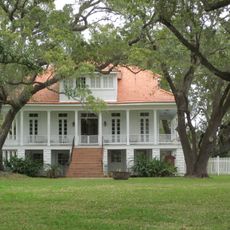
Promised Land
196.3 km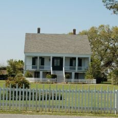
Bouverans Plantation House
205.4 km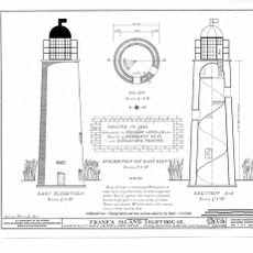
Frank's Island Light
110 km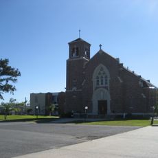
St. Patrick's Catholic Church
148.1 km
Los Isleños Museum Complex
199.2 km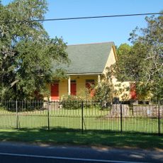
Sebastopol Plantation
199.4 km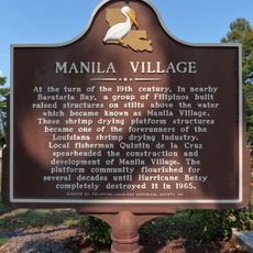
Manila Village
195.2 km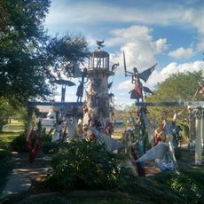
Chauvin Sculpture Garden & Art
194.9 kmReviews
Visited this place? Tap the stars to rate it and share your experience / photos with the community! Try now! You can cancel it anytime.
Discover hidden gems everywhere you go!
From secret cafés to breathtaking viewpoints, skip the crowded tourist spots and find places that match your style. Our app makes it easy with voice search, smart filtering, route optimization, and insider tips from travelers worldwide. Download now for the complete mobile experience.

A unique approach to discovering new places❞
— Le Figaro
All the places worth exploring❞
— France Info
A tailor-made excursion in just a few clicks❞
— 20 Minutes