Enable Location

We need your location to show you interesting places around you

Discover nearby places

Find interesting locations and hidden gems around you

Precise directions

Get accurate directions and distances to places

Your location is never shared with other users. It's only used when you tap the location button.

St. Charles Parish

Log in to your account

Start exploring — it's free

Trusted by 63,237 travelers worldwide

Continue with Google
Continue with Apple
or

We will send you a code to connect

By continuing, you accept our Terms and Conditions and our Privacy Policy

Check your inbox

We've sent a pincode in your inbox. Please enter the code below.

Discussion Reviews 1 Photos
25.7k Popularity

St. Charles Parish, Administrative division in southeastern Louisiana, United States.

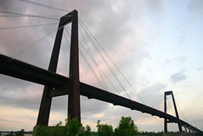
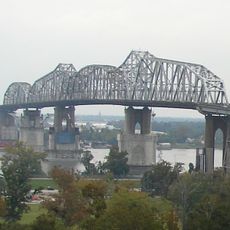
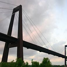
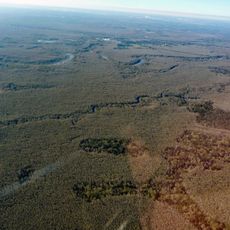
St. Charles Parish sits on fertile land between New Orleans and Baton Rouge, with many waterways and communities along the Mississippi River. The area spreads across both rural and developed zones with various public facilities and services.

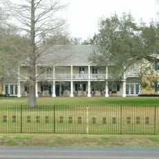
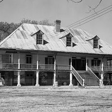
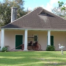
Founded in 1807, the parish became important to Louisiana's development through its location and early settlements. This establishment shaped the region's economy and society for generations to come.

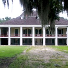
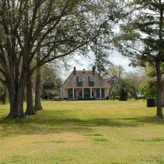
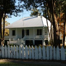
The area keeps Creole and Cajun heritage alive through local celebrations, traditional music, and regional food throughout the year. You'll notice these traditions woven into how people here live and gather together.

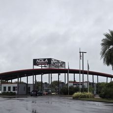
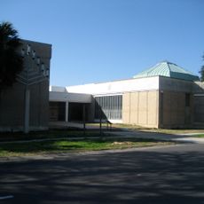
The area has schools, emergency services, and administrative offices mainly centered in Luling. Visitors can find the key public services needed to understand how the community is organized.

The parish operates a modern law enforcement center at Judge Edward Dufresne Parkway with active community programs. This facility shows how local security works today and connects with residents.

The community of curious travelers

AroundUs brings together thousands of curated places, local tips, and hidden gems, enriched daily by 60,000 contributors worldwide.

Start exploring
Location
Inception
1807
Capital city
Hahnville
Shares border with
Jefferson Parish, Lafourche Parish, St. John the Baptist Parish, Tangipahoa Parish
GPS coordinates
29.91000,-90.36000
Latest update
December 20, 2025 16:08
Around this place
Huey P. Long Bridge
United States of America

Huey P. Long Bridge

18.8 km
Destrehan Plantation
United States of America

Destrehan Plantation

4 km
NOLA Motorsports Park
United States of America

NOLA Motorsports Park

15.9 km
Hale Boggs Memorial Bridge
United States of America

Hale Boggs Memorial Bridge

3.8 km
United States of America

I-10 Bonnet Carré Spillway Bridge

14.6 km
United States of America

TPC of Louisiana

16.1 km
Ormond Plantation House
United States of America

Ormond Plantation House

5.6 km
Cajun Pride Swamp Tours
United States of America

Cajun Pride Swamp Tours

21.9 km
Homeplace Plantation House
United States of America

Homeplace Plantation House

8.2 km
Congregation Beth Israel
United States of America

Congregation Beth Israel

21.3 km
United States of America

1811 Kid Ory Historic House

20.5 km
LaBranche Plantation Dependency
United States of America

LaBranche Plantation Dependency

6.1 km
United States of America

LaBranche Wetlands Bridge

8.3 km
United States of America

CNR Bonnet Carré Spillway-McComb Bridge

17.2 km
United States of America

Sims Site

10.9 km
United States of America

Jefferson Performing Arts Center

16.8 km
Maurepas Swamp Wildlife Management Area
United States of America

Maurepas Swamp Wildlife Management Area

30.3 km
United States of America

U.S. 61 Bonnet Carré Spillway Bridge

14.2 km
Wildcat Stadium
United States of America

Wildcat Stadium

6.7 km
United States of America

CNR Bonnet Carré Spillway-Baton Rouge Bridge

13.7 km
United States of America

Kansas City Southern Bonnet Carré Spillway Bridge

14.3 km
United States of America

Salvador Wildlife Management Area

16.7 km
Raziano House
United States of America

Raziano House

13.6 km
Kenner Town Hall
United States of America

Kenner Town Hall

13 km
Dorvin House
United States of America

Dorvin House

10.5 km
Montegut Plantation
United States of America

Montegut Plantation

20.3 km
Frenier Cemetery
United States of America

Frenier Cemetery

21.5 km
United States of America

Ken Hollis Theater

16.8 km
Show the full map
Reviews
Share your experience

No review yet

Discussions
Start a discussion...

No discussion yet

« St. Charles Parish - Administrative division in southeastern Louisiana, United States » is provided by Around Us (aroundus.com). Images and texts are derived from Wikimedia project under a Creative Commons license. You are allowed to copy, distribute, and modify copies of this page, under the conditions set by the license, as long as this note is clearly visible.

Discover hidden gems everywhere you go!

From secret cafés to breathtaking viewpoints, skip the crowded tourist spots and find places that match your style. Our app makes it easy with voice search, smart filtering, route optimization, and insider tips from travelers worldwide. Download now for the complete mobile experience.

Around Us App Screenshot

A unique approach to discovering new places

Le Figaro

All the places worth exploring

France Info

A tailor-made excursion in just a few clicks

20 Minutes

Around Us
Travel Guide & Maps
Download

Send to your phone

QR Code
1

Open the camera app on your mobile.

2

Point at the QR code with your camera. A notification will appear.

3

Tap the notification to open the link.