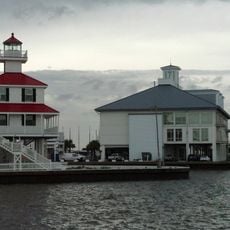
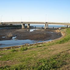
17th Street Canal, Drainage canal in New Orleans, Louisiana, United States.
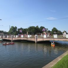
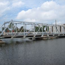
The 17th Street Canal is a drainage waterway that runs through residential neighborhoods and directs water toward Lake Pontchartrain via Pump Station 6. The channel is lined with concrete levees on both sides that contain the water and protect the surrounding areas from flooding.
The waterway started in the 1850s as a transportation route for the Jefferson and Lake Pontchartrain Railway before transforming into a drainage system for the growing city. Over the twentieth century, the structure was reinforced and modernized to handle increased population demands.
The waterway shapes how residents live with water management as part of daily life, with the pump stations and levees forming visible reminders of the engineering solutions the city has developed to survive in its unique location.
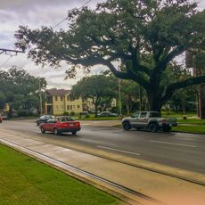
The area is easily accessible by car, and visitors can walk along the levees to observe the canal and its infrastructure from nearby roads. During heavy rain or storm periods, the waterway becomes active and the area may be less comfortable to explore due to weather conditions.
The canal's floodwall collapsed during Hurricane Katrina in 2005, causing widespread flooding and prompting major engineering improvements to prevent future disasters. Walking along the levees today, visitors can see reinforced sections and modern pumping technology that reflect the city's commitment to recovery and adaptation.
The community of curious travelers
AroundUs brings together thousands of curated places, local tips, and hidden gems, enriched daily by 60,000 contributors worldwide.