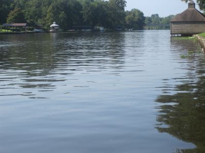
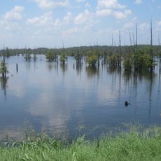
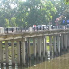
Cane River, River system in Natchitoches Parish, Louisiana, United States.
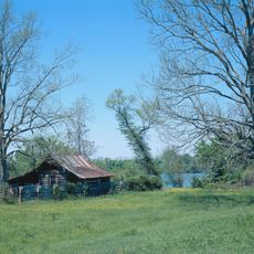
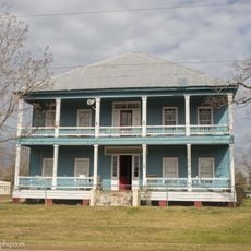
The Cane River is a waterway that flows through Louisiana and forms a natural boundary between Natchitoches and Rapides parishes. Multiple agricultural plantations line its banks, showing the region's farming heritage and past economic activity.
In 1836, the Red River shifted its course to an eastern channel called Rigolette de Bon Dieu, which altered water flow in the Cane River system. This geographic change affected how people settled and used the land in the region afterward.
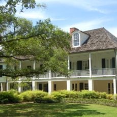
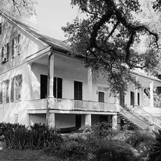
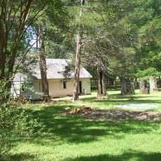
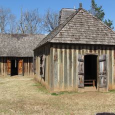
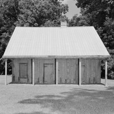
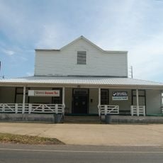
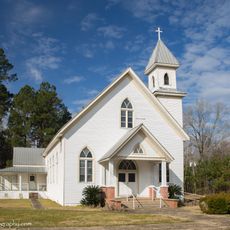
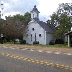
The river region became a center for Creole communities during the 1800s, with families establishing homes and gathering places near Melrose Plantation. You can still see the marks of these settlements and their way of life at the sites along the water today.
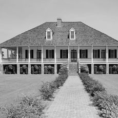
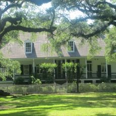
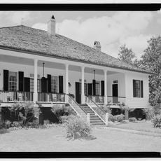
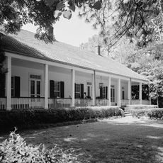
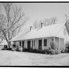
You can access the river through several historical plantation sites like Oakland and Magnolia, which offer guided visits and information about the area. Planning ahead helps you see multiple locations and understand the region's connections to the water.
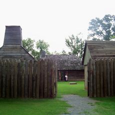
The river's name comes from the giant cane plants that once grew thickly along its banks and were used by Native American tribes for baskets and building materials. These plants shaped both the name and the resources of the region before European settlement arrived.
The community of curious travelers
AroundUs brings together thousands of curated places, local tips, and hidden gems, enriched daily by 60,000 contributors worldwide.