
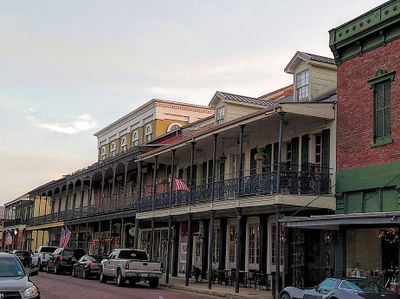
Downtown, central business district and neighborhood in Natchitoches, Natchitoches Parish, Louisiana, United States
Location: Natchitoches
Location: Natchitoches Parish
GPS coordinates: 31.76126,-93.09039
Latest update: March 20, 2025 02:20
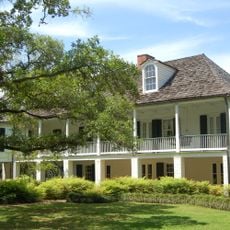
Melrose Plantation
21.4 km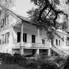
Magnolia Plantation
27.5 km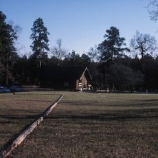
Los Adaes
20.1 km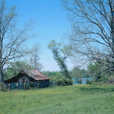
Cane River Creole National Historical Park
13.5 km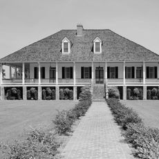
Oaklawn Plantation
12.6 km
Fort Jesup
33.8 km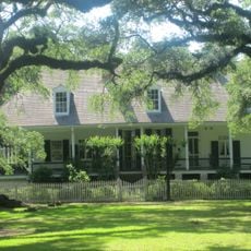
Oakland Plantation
13.5 km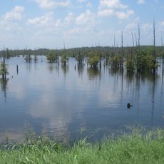
Black Lake
22.2 km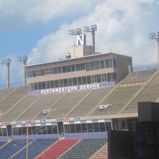
Harry Turpin Stadium
1.7 km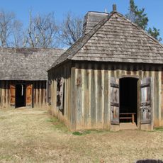
Fort St. Jean Baptiste State Historic Site
1 km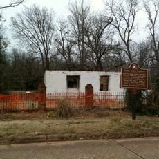
Kate Chopin House
29.6 km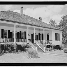
Cherokee Plantation
9.6 km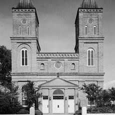
Basilica of the Immaculate Conception
274 m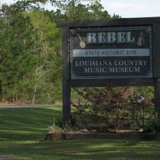
Rebel State Historic Site
1.4 km
Natchitoches Historic District
791 m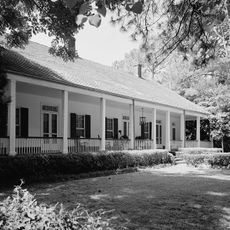
Narcisse Prudhomme Plantation
12.7 km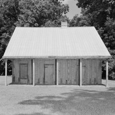
Badin-Roque House
20.9 km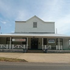
Caspiana Plantation Store
1.2 km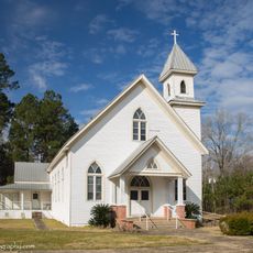
Church of St. Anne
18.7 km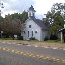
Robeline Methodist Church
21.7 km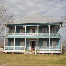
City Hotel
29 km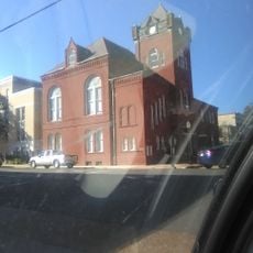
Old Courthouse Museum
223 m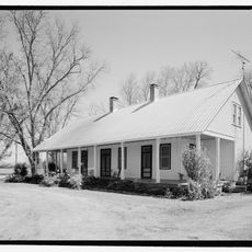
Jones House
23.3 km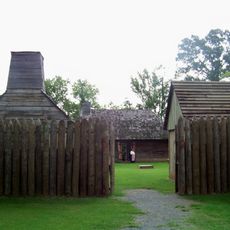
Fort St. Jean Baptiste
1 km
Port of Natchitoches
7.9 km
Natchitoches Parish Library
14.7 km
Davis Springs Methodist Church
22.9 km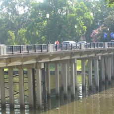
Church Street Bridge
492 mVisited this place? Tap the stars to rate it and share your experience / photos with the community! Try now! You can cancel it anytime.
Discover hidden gems everywhere you go!
From secret cafés to breathtaking viewpoints, skip the crowded tourist spots and find places that match your style. Our app makes it easy with voice search, smart filtering, route optimization, and insider tips from travelers worldwide. Download now for the complete mobile experience.

A unique approach to discovering new places❞
— Le Figaro
All the places worth exploring❞
— France Info
A tailor-made excursion in just a few clicks❞
— 20 Minutes