Enable Location

We need your location to show you interesting places around you

Discover nearby places

Find interesting locations and hidden gems around you

Precise directions

Get accurate directions and distances to places

Your location is never shared with other users. It's only used when you tap the location button.

Natchitoches Parish

Log in to your account

Start exploring — it's free

Trusted by 63,333 travelers worldwide

Continue with Google
Continue with Apple
or

We will send you a code to connect

By continuing, you accept our Terms and Conditions and our Privacy Policy

Check your inbox

We've sent a pincode in your inbox. Please enter the code below.

Discussion Reviews 2 Photos
19.9k Popularity

Natchitoches Parish, Administrative region in Louisiana, United States.

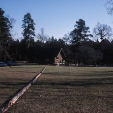
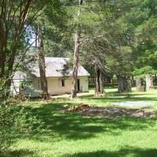
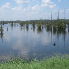
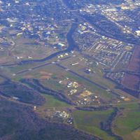
Natchitoches Parish is an administrative region in Louisiana that spans a mix of forests, rivers, and farmland. The territory includes several towns and villages, with Natchitoches serving as the main administrative hub.

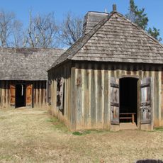
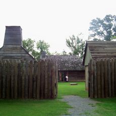
The parish was established in 1805 and initially centered on cotton plantations. Over time, timber production became a major economic activity that shaped the region's development.

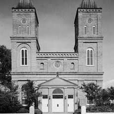
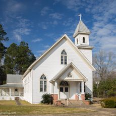
The area keeps French traditions alive through its Creole population, visible in local customs and community gatherings. These roots shape how people live together and celebrate.

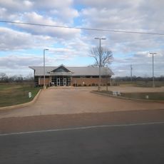
The area is administered from Natchitoches, where key government offices are located. Visitors can use the town as a reference point for finding information and getting around the wider region.

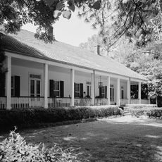
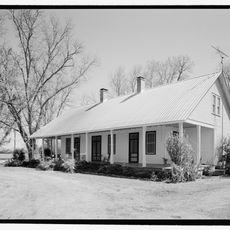
The territory contains several small towns and villages scattered across the landscape, each contributing to the region's character. This variety of settlements gives different parts of the area their own local identity.

The community of curious travelers

AroundUs brings together thousands of curated places, local tips, and hidden gems, enriched daily by 60,000 contributors worldwide.

Start exploring
Location
Inception
April 10, 1805
Capital city
Natchitoches
Shares border with
Red River Parish, Sabine Parish, DeSoto Parish, Bienville Parish, Winn Parish, Grant Parish, Vernon Parish, Rapides Parish
GPS coordinates
31.73000,-93.10000
Latest update
December 7, 2025 10:06
Around this place
Melrose Plantation
United States of America

Melrose Plantation

19.2 km
Magnolia Plantation
United States of America

Magnolia Plantation

25.1 km
Los Adaes
United States of America

Los Adaes

18.5 km
Hodges Gardens State Park
United States of America

Hodges Gardens State Park

50.6 km
Cane River Creole National Historical Park
United States of America

Cane River Creole National Historical Park

11.7 km
Oaklawn Plantation
United States of America

Oaklawn Plantation

10.7 km
Fort Jesup
United States of America

Fort Jesup

31.4 km
Oakland Plantation
United States of America

Oakland Plantation

11.7 km
Black Lake
United States of America

Black Lake

25.8 km
Harry Turpin Stadium
United States of America

Harry Turpin Stadium

2 km
Fort St. Jean Baptiste State Historic Site
United States of America

Fort St. Jean Baptiste State Historic Site

2.7 km
Kate Chopin House
United States of America

Kate Chopin House

27.3 km
Basilica of the Immaculate Conception
United States of America

Basilica of the Immaculate Conception

3.7 km
Rebel State Historic Site
United States of America

Rebel State Historic Site

2.5 km
Natchitoches Historic District
United States of America

Natchitoches Historic District

2.8 km
Narcisse Prudhomme Plantation
United States of America

Narcisse Prudhomme Plantation

10.8 km
Badin-Roque House
United States of America

Badin-Roque House

18.6 km
Church of St. Anne
United States of America

Church of St. Anne

18.6 km
Robeline Methodist Church
United States of America

Robeline Methodist Church

19.9 km
Old Courthouse Museum
United States of America

Old Courthouse Museum

3.7 km
Jones House
United States of America

Jones House

21 km
Cheveron
United States of America

Cheveron

2 km
Fort St. Jean Baptiste
United States of America

Fort St. Jean Baptiste

2.8 km
Shop Rite
United States of America

Shop Rite

3.1 km
Port of Natchitoches
United States of America

Port of Natchitoches

11.5 km
Natchitoches Parish Library
United States of America

Natchitoches Parish Library

18 km
Davis Springs Methodist Church
United States of America

Davis Springs Methodist Church

26 km
Bank of Montgomery Washington Street Branch
United States of America

Bank of Montgomery Washington Street Branch

4 km
Show the full map
Reviews
Share your experience

No review yet

Discussions
Start a discussion...

No discussion yet

Administrative divisions
« Natchitoches Parish - Administrative region in Louisiana, United States » is provided by Around Us (aroundus.com). Images and texts are derived from Wikimedia project under a Creative Commons license. You are allowed to copy, distribute, and modify copies of this page, under the conditions set by the license, as long as this note is clearly visible.

Discover hidden gems everywhere you go!

From secret cafés to breathtaking viewpoints, skip the crowded tourist spots and find places that match your style. Our app makes it easy with voice search, smart filtering, route optimization, and insider tips from travelers worldwide. Download now for the complete mobile experience.

Around Us App Screenshot

A unique approach to discovering new places

Le Figaro

All the places worth exploring

France Info

A tailor-made excursion in just a few clicks

20 Minutes

Around Us
Travel Guide & Maps
Download

Send to your phone

QR Code
1

Open the camera app on your mobile.

2

Point at the QR code with your camera. A notification will appear.

3

Tap the notification to open the link.