Enable Location

We need your location to show you interesting places around you

Discover nearby places

Find interesting locations and hidden gems around you

Precise directions

Get accurate directions and distances to places

Your location is never shared with other users. It's only used when you tap the location button.

Iberville Parish

Log in to your account

Start exploring — it's free

Trusted by 61,368 travelers worldwide

Continue with Google
Continue with Apple
or

We will send you a code to connect

By continuing, you accept our Terms and Conditions and our Privacy Policy

Check your inbox

We've sent a pincode in your inbox. Please enter the code below.

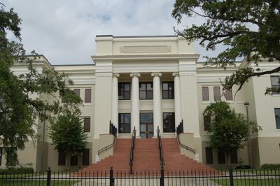
Iberville Parish, Administrative division in Louisiana, United States

Description

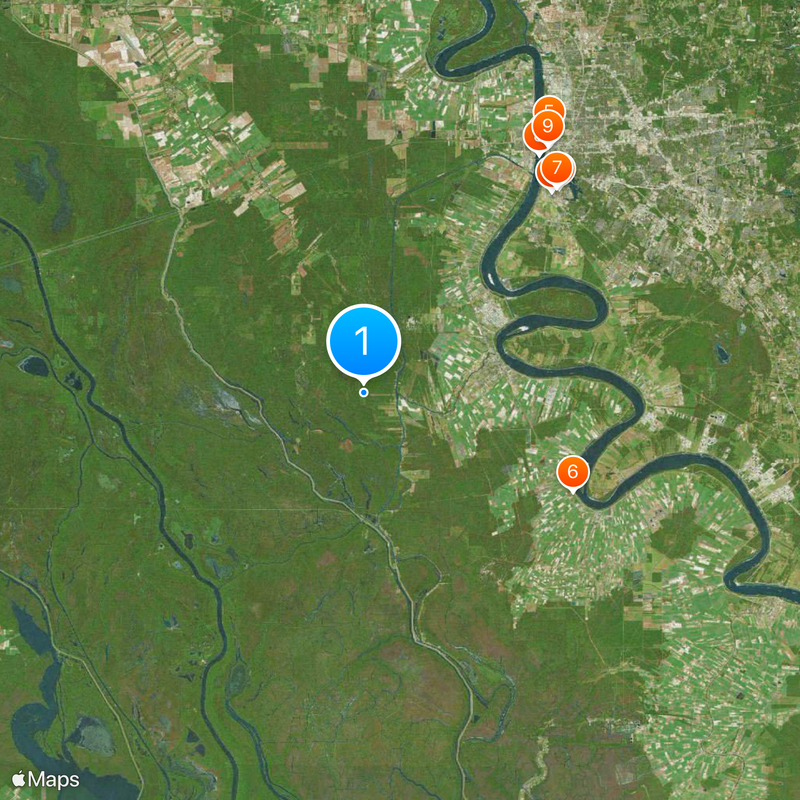
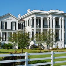
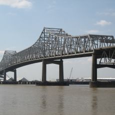
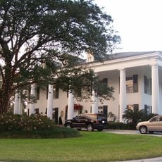
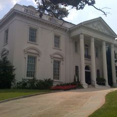
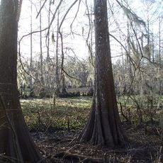
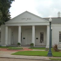
Iberville Parish is an administrative division in Louisiana located south of Baton Rouge, with Plaquemine serving as its seat. The territory combines urban and rural areas, interspersed with waterways and agricultural land.

History

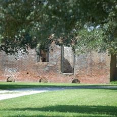
Established in 1807, the parish bears the name of French explorer Pierre Le Moyne d'Iberville who played a role in founding the Louisiana colony. Its creation reflects the French colonial period and the region's subsequent development.

Culture

French, Spanish, and African influences shape the local traditions and celebrations that residents observe today. These cultural layers are woven into the community's everyday life and seasonal festivities.

Practical

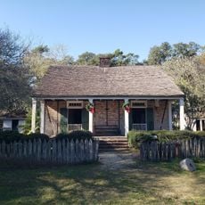
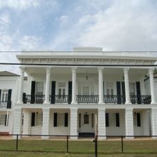
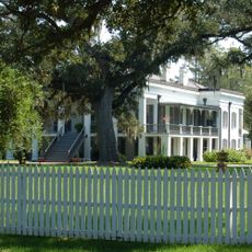
Use Plaquemine as your starting point for exploring the parish and accessing administrative information. The area offers both historical sites and natural settings, so plan your visit based on what interests you most.

Did you know?

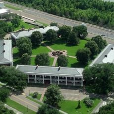
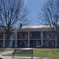
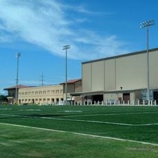
The parish is home to two major state correctional facilities: Elayn Hunt Correctional Center and Louisiana Correctional Institute for Women. These institutions serve as significant employers in the region and shape its economic landscape.

Location
Inception
April 10, 1805
Capital city
Plaquemine
Shares border with
West Baton Rouge Parish, Pointe Coupee Parish, East Baton Rouge Parish, Ascension Parish, Assumption Parish, Iberia Parish, St. Martin Parish
GPS coordinates
30.26000,-91.35000
Latest update
December 20, 2025 16:16

AroundUs brings together thousands of curated places, local tips, and hidden gems, enriched daily by 60,000 contributors worldwide. Discover all places nearby (Louisiana).

Around this place
Louisiana State University
United States of America

Louisiana State University

23.8 km
USS Kidd
United States of America

USS Kidd

25.5 km
Tiger Stadium
United States of America

Tiger Stadium

23.1 km
Louisiana State Capitol
United States of America

Louisiana State Capitol

26.9 km
Nottoway Plantation
United States of America

Nottoway Plantation

19.5 km
LSU Campus Mounds
United States of America

LSU Campus Mounds

23.7 km
Horace Wilkinson Bridge
United States of America

Horace Wilkinson Bridge

24.8 km
Old Louisiana State Capitol
United States of America

Old Louisiana State Capitol

25.9 km
Louisiana Governor's Mansion
United States of America

Louisiana Governor's Mansion

27.5 km
Blue Bayou and Dixie Landin'
United States of America

Blue Bayou and Dixie Landin'

32.5 km
Old Louisiana Governor's Mansion
United States of America

Old Louisiana Governor's Mansion

26.1 km
Hilton Baton Rouge Capitol Center
United States of America

Hilton Baton Rouge Capitol Center

26 km
United States of America

National Hansen's Disease Museum

22.6 km
Pentagon Barracks
United States of America

Pentagon Barracks

26.7 km
Pentagon Barracks Museum
United States of America

Pentagon Barracks Museum

26.7 km
LSU Football Operations Center
United States of America

LSU Football Operations Center

22.9 km
Lake Fausse Pointe State Park
United States of America

Lake Fausse Pointe State Park

33.5 km
Shaw Center for the Arts
United States of America

Shaw Center for the Arts

26 km
LSU Rural Life Museum
United States of America

LSU Rural Life Museum

28.1 km
United States of America

Atchafalaya National Heritage Area

17.3 km
Memorial Tower
United States of America

Memorial Tower

23.8 km
BREC Memorial Stadium
United States of America

BREC Memorial Stadium

28 km
LSU Indoor Practice Facility
United States of America

LSU Indoor Practice Facility

22.7 km
Carville Historic District
United States of America

Carville Historic District

22.6 km
Belle Alliance Plantation
United States of America

Belle Alliance Plantation

38.1 km
Bluebonnet Swamp Nature Center
United States of America

Bluebonnet Swamp Nature Center

26.7 km
LSU Hilltop Arboretum
United States of America

LSU Hilltop Arboretum

26.8 km
Evan Hall
United States of America

Evan Hall

33.4 km
Show the full map
Administrative divisions
« Iberville Parish - Administrative division in Louisiana, United States » is provided by Around Us (aroundus.com). Images and texts are derived from Wikimedia project under a Creative Commons license. You are allowed to copy, distribute, and modify copies of this page, under the conditions set by the license, as long as this note is clearly visible.

Discover hidden gems everywhere you go!

From secret cafés to breathtaking viewpoints, skip the crowded tourist spots and find places that match your style. Our app makes it easy with voice search, smart filtering, route optimization, and insider tips from travelers worldwide. Download now for the complete mobile experience.

Around Us App Screenshot

A unique approach to discovering new places

Le Figaro

All the places worth exploring

France Info

A tailor-made excursion in just a few clicks

20 Minutes

Around Us
Travel Guide & Maps
Download

Send to your phone

QR Code
1

Open the camera app on your mobile.

2

Point at the QR code with your camera. A notification will appear.

3

Tap the notification to open the link.