Chest opened
+${chestReward.xp} XP
Explorer
NOUVEAU ×${chestReward.collectible.quantity}
tapez pour fermer
Chest locked

Open chests in the app

Around Us is built for your phone — chests unlock when you walk, explore and capture nearby places.

Enable Location

We need your location to show you interesting places around you

Discover nearby places

Find interesting locations and hidden gems around you

Precise directions

Get accurate directions and distances to places

Your location is never shared with other users. It's only used when you tap the location button.

Log in to your account

Start exploring — it's free

Trusted by 72,879 travelers worldwide

Continue with Google
Continue with Apple
or

We will send you a code to connect

By continuing, you accept our Terms and Conditions and our Privacy Policy

Check your inbox

We've sent a pincode in your inbox. Please enter the code below.

Mobile District
Discussion Reviews Photo
6.7k Popularity

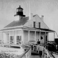
Mobile District, Historical administrative region in southern Mississippi, United States.

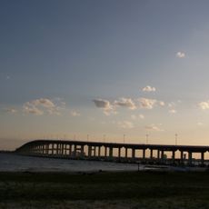
Mobile District is a historical region in southern Mississippi that stretches from the Gulf of Mexico to the 31st parallel. The area lies between the Perdido River and the Pearl River, encompassing several communities with access to important waterways.

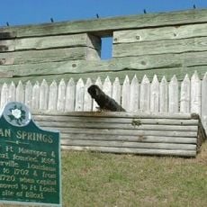
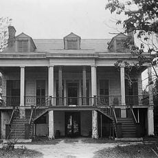
The territory was under Spanish control until the United States annexed it in 1812 prior to the War of 1812. This transition marked the end of European colonial rule in this southern region.

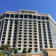
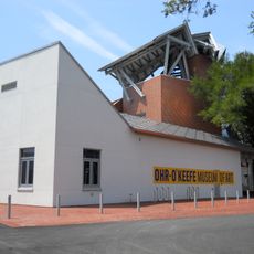
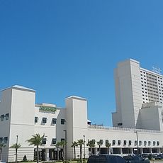
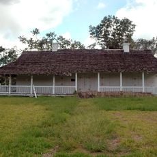
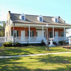
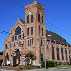
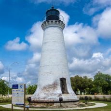
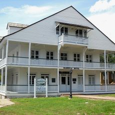
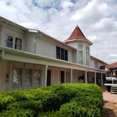
The district incorporates multiple communities with strong maritime traditions, reflecting the influence of its Gulf Coast location and waterways.

The region is crossed by Interstate 59 and Interstate 10, which connect the Gulf Coast with northern Mississippi. These major roads enable easy movement through the entire area for visitors.

The territory was connected to the Republic of West Florida, a short-lived experiment in independence between European and American control. This episode made the region a focal point for political tensions in the early 1800s.

The community of curious travelers

AroundUs brings together thousands of curated places, local tips, and hidden gems, enriched daily by 60,000 contributors worldwide.

Start exploring
Location
Inception
1810
GPS coordinates
30.70000,-88.65000
Latest update
December 10, 2025 15:50
Around this place
Beau Rivage
United States of America

Beau Rivage

41.4 km
Ohr-O'Keefe Museum Of Art
United States of America

Ohr-O'Keefe Museum Of Art

40.2 km
Fort Maurepas
United States of America

Fort Maurepas

37 km
Casino Magic Biloxi
United States of America

Casino Magic Biloxi

40 km
Biloxi Bay Bridge
United States of America

Biloxi Bay Bridge

38.3 km
Old Spanish Fort
United States of America

Old Spanish Fort

36.7 km
Walter Anderson Museum of Art
United States of America

Walter Anderson Museum of Art

36.4 km
Old Brick House
United States of America

Old Brick House

39.1 km
Grand Bay National Wildlife Refuge
United States of America

Grand Bay National Wildlife Refuge

38.6 km
Cathedral of the Nativity of the Blessed Virgin Mary
United States of America

Cathedral of the Nativity of the Blessed Virgin Mary

40.9 km
Biloxi National Cemetery
United States of America

Biloxi National Cemetery

42.8 km
Bellevue
United States of America

Bellevue

41.2 km
Maritime & Seafood Industry Museum
United States of America

Maritime & Seafood Industry Museum

39.6 km
Round Island Light
United States of America

Round Island Light

37.8 km
Magnolia Hotel
United States of America

Magnolia Hotel

41 km
Pleasant Reed House
United States of America

Pleasant Reed House

40.2 km
United States Post Office, Courthouse, and Customhouse
United States of America

United States Post Office, Courthouse, and Customhouse

40.8 km
Red Creek Wildlife Management Area (Mississippi)
United States of America

Red Creek Wildlife Management Area (Mississippi)

26.4 km
Saint John's Episcopal Church
United States of America

Saint John's Episcopal Church

36.5 km
Biloxi Light
United States of America

Biloxi Light

41.7 km
Grand Bay Historic District
United States of America

Grand Bay Historic District

38.6 km
East Pascagoula River Light
United States of America

East Pascagoula River Light

39.7 km
Vernal Presbyterian Church
United States of America

Vernal Presbyterian Church

37.4 km
Tanner Farmhouse
United States of America

Tanner Farmhouse

31.2 km
Redding House
United States of America

Redding House

40.8 km
Griffin House
United States of America

Griffin House

32.2 km
Gulf Hills
United States of America

Gulf Hills

34.9 km
St. Mary's By the River
United States of America

St. Mary's By the River

35.1 km
Show the full map
Reviews
Share your experience

No review yet

Discussions
Start a discussion...

No discussion yet

« Mobile District - Historical administrative region in southern Mississippi, United States » is provided by Around Us (aroundus.com). Images and texts are derived from Wikimedia project under a Creative Commons license. You are allowed to copy, distribute, and modify copies of this page, under the conditions set by the license, as long as this note is clearly visible.

Discover hidden gems everywhere you go!

From secret cafés to breathtaking viewpoints, skip the crowded tourist spots and find places that match your style. Our app makes it easy with voice search, smart filtering, route optimization, and insider tips from travelers worldwide. Download now for the complete mobile experience.

Around Us App Screenshot

A unique approach to discovering new places

Le Figaro

All the places worth exploring

France Info

A tailor-made excursion in just a few clicks

20 Minutes

Around Us
Travel Guide & Maps
Download

Send to your phone

QR Code
1

Open the camera app on your mobile.

2

Point at the QR code with your camera. A notification will appear.

3

Tap the notification to open the link.