Enable Location

We need your location to show you interesting places around you

Discover nearby places

Find interesting locations and hidden gems around you

Precise directions

Get accurate directions and distances to places

Your location is never shared with other users. It's only used when you tap the location button.

Jasper County

Log in to your account

Start exploring — it's free

Trusted by 62,430 travelers worldwide

Continue with Google
Continue with Apple
or

We will send you a code to connect

By continuing, you accept our Terms and Conditions and our Privacy Policy

Check your inbox

We've sent a pincode in your inbox. Please enter the code below.

Jasper County, Administrative division in Mississippi, United States.

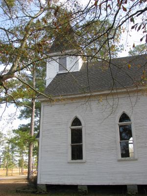
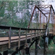
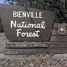
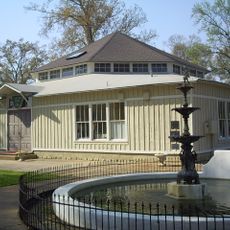
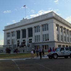
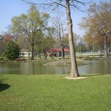
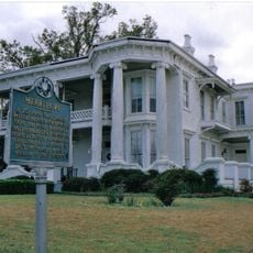
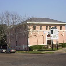
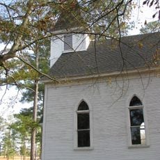
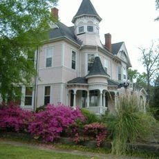
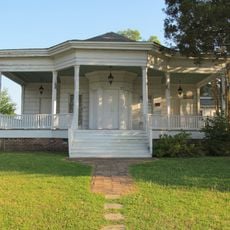
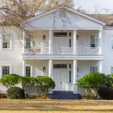
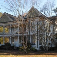
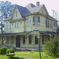
Jasper County is an administrative division in east-central Mississippi covering agricultural land, forests, and residential areas. The landscape is shaped by farming activity and features the typical layout of a rural region.

The county was named after Revolutionary War hero Sergeant William Jasper, remembered for his bravery in combat. The naming honors his service during the military struggles of that era.

Local farming traditions shape daily life here, with residents maintaining agricultural practices passed down through generations. Community gatherings and seasonal events reflect how people connect to the land and to each other.

The county is best explored by car since locations are spread across a large area. Plan extra travel time when moving between different parts of the region.

The county shares boundaries with Newton County, following a naming pattern repeated across many US states. These parallel namings developed during similar phases of territorial and administrative growth.

The community of curious travelers

AroundUs brings together thousands of curated places, local tips, and hidden gems, enriched daily by 60,000 contributors worldwide.

Start exploring
Location
Inception
1833
Capital city
Bay Springs
Shares border with
Newton County, Clarke County, Wayne County, Jones County, Smith County, Scott County, Lauderdale County
GPS coordinates
32.02000,-89.12000
Latest update
December 7, 2025 10:07
Around this place
Stuckey's Bridge
United States of America

Stuckey's Bridge

36.2 km
Lauren Rogers Museum of Art
United States of America

Lauren Rogers Museum of Art

36 km
Threefoot Building
United States of America

Threefoot Building

55.1 km
Bienville National Forest
United States of America

Bienville National Forest

44.9 km
Laurel Central Historic District
United States of America

Laurel Central Historic District

35.9 km
Amos Deason Home
United States of America

Amos Deason Home

46.3 km
Riley Center
United States of America

Riley Center

55.1 km
Highland Park Dentzel Carousel and Shelter Building
United States of America

Highland Park Dentzel Carousel and Shelter Building

54.8 km
Temple Theatre
United States of America

Temple Theatre

55 km
Meridian City Hall
United States of America

Meridian City Hall

54.9 km
Highland Park
United States of America

Highland Park

54.7 km
Merrehope
United States of America

Merrehope

53.5 km
Meridian Museum of Art
United States of America

Meridian Museum of Art

54.8 km
Mississippi arts and entertainment experience
United States of America

Mississippi arts and entertainment experience

54.9 km
Wechsler School
United States of America

Wechsler School

55 km
Montrose Presbyterian Church
United States of America

Montrose Presbyterian Church

15.9 km
Elson-Dudley House
United States of America

Elson-Dudley House

54.9 km
Amos Deason House
United States of America

Amos Deason House

46.3 km
Masonic Temple
United States of America

Masonic Temple

55.2 km
Alex Loeb Building
United States of America

Alex Loeb Building

55.2 km
Trotter-Byrd House
United States of America

Trotter-Byrd House

37.3 km
Newell Rogers House
United States of America

Newell Rogers House

36 km
Judge John L. Buckley House
United States of America

Judge John L. Buckley House

32.8 km
Capt. C.C. Ferrill House
United States of America

Capt. C.C. Ferrill House

37.3 km
Benjamin H. Carter House
United States of America

Benjamin H. Carter House

37.3 km
Shubuta Bridge
United States of America

Shubuta Bridge

44.8 km
Merrehope Historic District
United States of America

Merrehope Historic District

54.9 km
Dunn's Falls
United States of America

Dunn's Falls

36.5 km
Show the full map
Administrative divisions
« Jasper County - Administrative division in Mississippi, United States » is provided by Around Us (aroundus.com). Images and texts are derived from Wikimedia project under a Creative Commons license. You are allowed to copy, distribute, and modify copies of this page, under the conditions set by the license, as long as this note is clearly visible.

Discover hidden gems everywhere you go!

From secret cafés to breathtaking viewpoints, skip the crowded tourist spots and find places that match your style. Our app makes it easy with voice search, smart filtering, route optimization, and insider tips from travelers worldwide. Download now for the complete mobile experience.

Around Us App Screenshot

A unique approach to discovering new places

Le Figaro

All the places worth exploring

France Info

A tailor-made excursion in just a few clicks

20 Minutes

Around Us
Travel Guide & Maps
Download

Send to your phone

QR Code
1

Open the camera app on your mobile.

2

Point at the QR code with your camera. A notification will appear.

3

Tap the notification to open the link.