Central Alabama, Geographic region in Alabama, United States
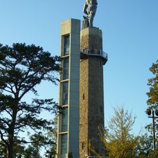
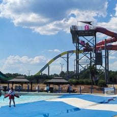
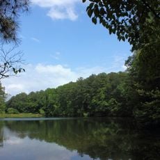
Central Alabama is a geographic region stretching between the Appalachian foothills and coastal plains, featuring varied landscapes across its expanse. Rolling hills, limestone valleys, and river systems define the terrain throughout the area.
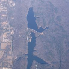
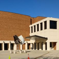
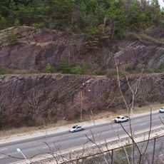
The Fall Line marking the boundary between upland rocks and coastal deposits shaped early settlement patterns and industrial growth in the region. This geological feature became central to how communities and economy developed across the area.
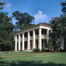
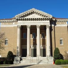
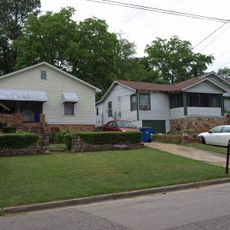
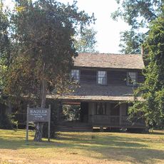
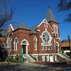
Farm-based communities throughout the area maintain practices rooted in soil and seasons, reflecting a blend of northern and southern traditions. These settlements shape how people live and work together across the landscape.
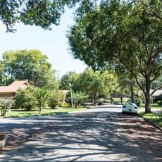
The central position links Birmingham, Montgomery, and other regional hubs through interstate highways, making travel through the area straightforward. These major routes provide good connections for visitors moving between different parts of the region.
Ancient surface rocks meet newer coastal deposits in this area, creating natural waterfalls and mineral-rich soils that define the landscape. This geological mixing makes the region notable for its distinctive terrain.
The community of curious travelers
AroundUs brings together thousands of curated places, local tips, and hidden gems, enriched daily by 60,000 contributors worldwide.