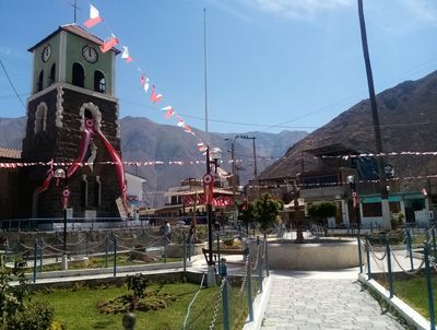
Callahuanca District, Andean district in Huarochirí Province, Peru.
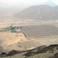
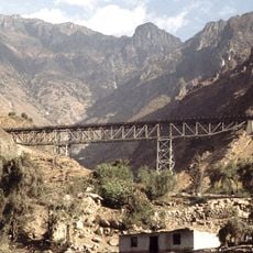
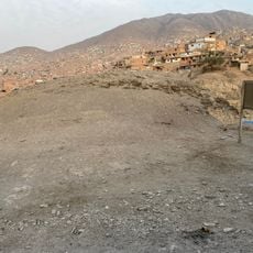
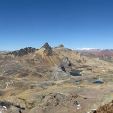
Callahuanca District is a territorial division in Huarochirí Province characterized by mountainous terrain across several hundred square kilometers. The region sits at higher elevation and is defined mainly by rural settlements and agricultural land.
The district gained official administrative recognition in 1957, a key moment in the reorganization of Huarochirí Province. This establishment was part of broader regional reforms to structure the territory more effectively.
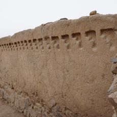
Local people maintain their connection to the Andes through regional celebrations and traditional farming methods passed down over generations. These practices shape daily life and appear in the fields and festivities throughout the year.
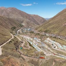
The area can be reached via road connections to nearby communities in the Lima Region with regular service. It is advisable to prepare for variable weather conditions typical of higher-altitude mountain areas.
The district has one of the lowest population densities in the province, with only a handful of residents per square kilometer. This sparse population makes it a quiet place far removed from urban centers.
Location: Huarochirí Province
Elevation above the sea: 1,761 m
Shares border with: San Pedro de Casta District, San Mateo de Otao District, Santa Eulalia District
GPS coordinates: -11.82650,-76.61864
Latest update: December 8, 2025 13:43
Puruchuco
41.9 km
Cripta de los Héroes
48.8 km
La Atarjea potable water treatment plant
45.9 km
Cajamarquilla
34.8 km
Gold Museum of Peru and Weapons of the World
49.2 km
Casa Hacienda Punchauca
41.7 km
Huaca Mangomarca
44.7 km
Jicamarca Radio Observatory
31.1 km
Huaycán de Pariachi
31.2 km
Huaca Tungasuca
46.7 km
Zárate Forest Reserved Zone
18.2 km
Huaca Melgarejo
44.9 km
Huaca Canto Chico
47.7 km
Huaca Bellavista
42.2 km
Verrugas Bridge
15.9 kmComplejo Arqueologico Santa Luzmila
49.6 km
Estadio Municipal de La Molina
41.3 km
Huaycán de Cieneguilla
32.8 km
Huaca El Sauce
45.2 km
Huaca Sinchi Roca
47.9 km
Wayrakancha
48.4 km
Quñuqp'ukru
44.6 km
Huaca Templo Con Con
44.4 km
Qanchis Kancha
45.9 km
Chuqi Chukchu
47.8 kmSanta Eulalia River
12.1 km
Huachipa Zoo Park
37 km
Iglesia del Espíritu Santo de Huamansica o Antioquía
30.6 kmVisited this place? Tap the stars to rate it and share your experience / photos with the community! Try now! You can cancel it anytime.
Discover hidden gems everywhere you go!
From secret cafés to breathtaking viewpoints, skip the crowded tourist spots and find places that match your style. Our app makes it easy with voice search, smart filtering, route optimization, and insider tips from travelers worldwide. Download now for the complete mobile experience.
A unique approach to discovering new places❞
— Le Figaro
All the places worth exploring❞
— France Info
A tailor-made excursion in just a few clicks❞
— 20 Minutes