Serras e planaltos do Leste e do Sudeste, Mountain ranges and plateaus in southeastern Brazil
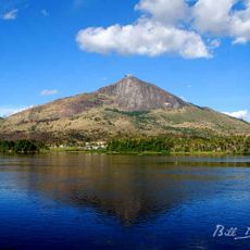
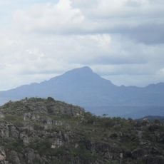
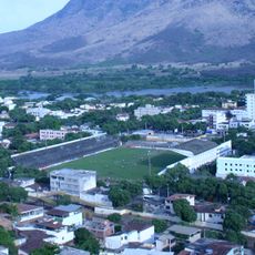
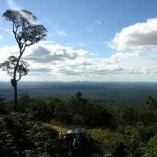
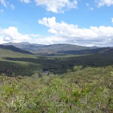
The Eastern and Southeastern Mountains and Plateaus form an extensive highland system that extends from the Santa Catarina border to inland Bahia. The system includes several mountain ranges, high plateaus and valleys with elevations varying significantly across the landscape.
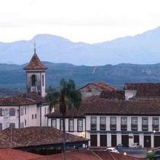
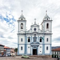
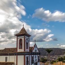
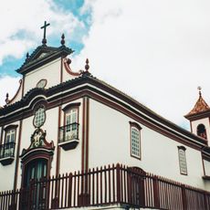
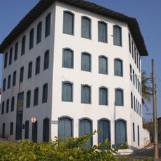
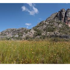
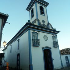
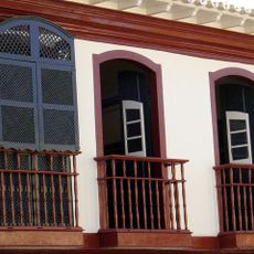
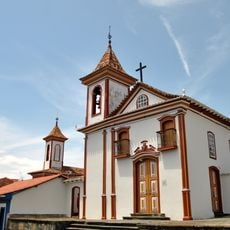
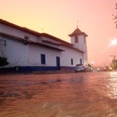
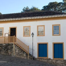
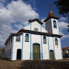
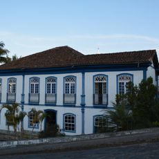
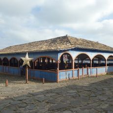
This mountainous landscape formed through geological processes that began hundreds of millions of years ago as large portions of the Brazilian shield were exposed to erosion. Later, starting in the 18th century, gold discoveries in the region attracted thousands of people and led to the establishment of numerous mining settlements.
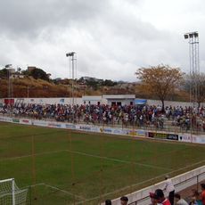
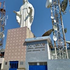
The mountain ranges shape how people live and work across this region today. They influence where communities settle, what crops grow best, and the traditions that have developed over generations.
The region is accessible through several major roads and offers different ways to explore depending on which sub-area and season you choose. Visitors should keep in mind that higher elevations have cooler temperatures and weather can change quickly in the mountains.
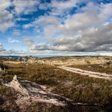
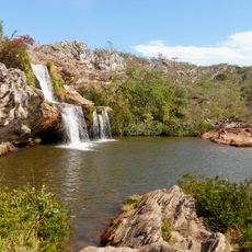
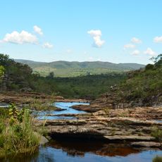
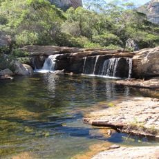
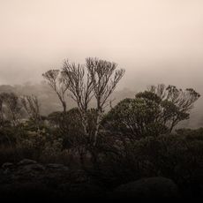
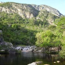
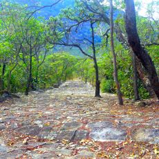
The region is home to the Chapada Diamantina, a plateau with underground rivers, waterfalls and caves that formed over millions of years. These geological formations are known among cave explorers and nature enthusiasts, but often remain unknown to travelers exploring other parts of the region.
The community of curious travelers
AroundUs brings together thousands of curated places, local tips, and hidden gems, enriched daily by 60,000 contributors worldwide.