
Tapauá, municipality of Brazil
Location: Amazonas
Elevation above the sea: 102 m
Shares border with: Anori, Beruri, Canutama, Carauari, Coari, Humaitá, Itamarati, Lábrea, Manicoré, Tefé
GPS coordinates: -5.62778,-63.18278
Latest update: March 11, 2025 18:47
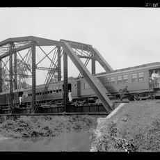
Madeira-Mamoré Railroad
358.7 km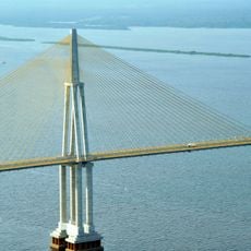
Rio Negro Bridge
443.2 km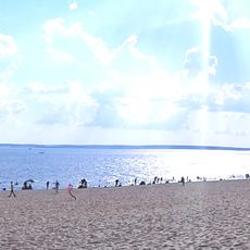
Praia de Ponta Negra
445.4 km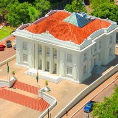
Palácio Rio Branco
703.2 km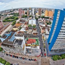
Historic center of Manaus
446.7 km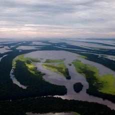
Anavilhanas National Park
438.9 km
Jaú National Park
390 km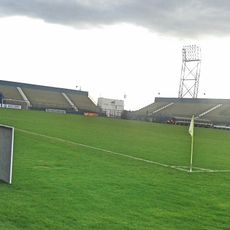
Estádio Ismael Benigno
446.8 km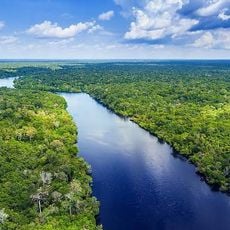
Amazon River
381.1 km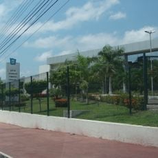
Government of Amazonas
446.8 km
Pacaás Novos National Park
616.4 km
Santa Rosa Island
767.2 km
Mamirauá Sustainable Development Reserve
466.3 km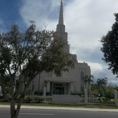
Manaus Brazil Temple
445.7 km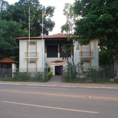
Museu da Borracha Governador Geraldo Mesquita
702.8 km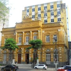
Rio Branco Palace
446.7 km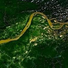
Central Amazon Conservation Complex
389.2 km
Chico Mendes' house
700.2 km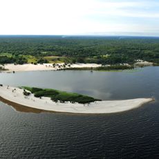
Moon Beach
445.4 km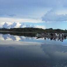
Campos Amazônicos National Park
374.9 km
Estádio José de Melo
702.6 km
Mapinguari National Park
347 km
Central Amazon Ecological Corridor
584.6 km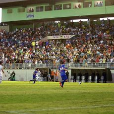
Estádio Antônio Aquino Lopes
708.2 km
Juma Sustainable Development Reserve
315.5 km
Médio Juruá Extractive Reserve
501.9 km
Ituxi Extractive Reserve
334.5 km
Tefé National Forest
308.7 kmReviews
Visited this place? Tap the stars to rate it and share your experience / photos with the community! Try now! You can cancel it anytime.
Discover hidden gems everywhere you go!
From secret cafés to breathtaking viewpoints, skip the crowded tourist spots and find places that match your style. Our app makes it easy with voice search, smart filtering, route optimization, and insider tips from travelers worldwide. Download now for the complete mobile experience.

A unique approach to discovering new places❞
— Le Figaro
All the places worth exploring❞
— France Info
A tailor-made excursion in just a few clicks❞
— 20 Minutes