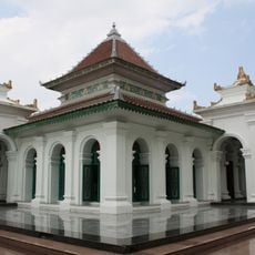
South Ogan Komering Ulu, Administrative regency in South Sumatra, Indonesia
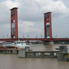
South Ogan Komering Ulu is an administrative regency in South Sumatra with diverse terrain ranging from lowlands to higher elevations. The territory contains both rural villages and urban centers connected by road networks that serve as the backbone for local movement and trade.
The regency was created in 2003 when the original Ogan Komering Ulu territory was divided into separate administrative units. This reorganization reflected broader efforts to improve local governance and administrative efficiency in the region.
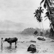
The Ogan and Komering communities have shaped life in the region through their distinct languages and local customs that remain visible in daily interactions. Visitors notice these traditions reflected in how people gather, celebrate, and organize their communities.
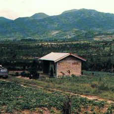
The region is well-connected by roads that provide access to markets and basic services throughout settlements and communities. Visitors should be aware that much of the area remains rural and agriculture-focused, so facilities are scattered rather than centralized.
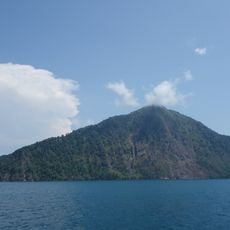
Lake Ranau sits within the region and serves as a key natural resource that shapes the local fishing and agricultural economy. This water body becomes a focal point for communities that depend on it for their livelihoods.
The community of curious travelers
AroundUs brings together thousands of curated places, local tips, and hidden gems, enriched daily by 60,000 contributors worldwide.