Ngawi, capital of Ngawi Regency, Indonesia
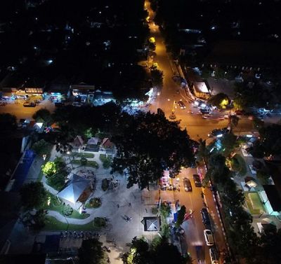
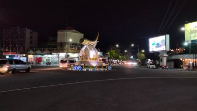
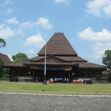
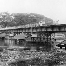
Ngawi is the capital of Ngawi Regency in East Java, a small administrative town surrounded by rivers and green fields. It covers about 72 square kilometers, with traditional houses, busy markets, and residential areas connected by local streets and modern roads.
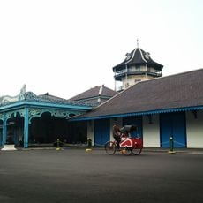
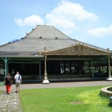
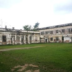
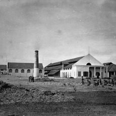
Ngawi served as a strategic outpost of the Majapahit Empire in the 14th century, important for trade and administration. In the 1800s, the Dutch built Fort van den Bosch to control the region, a presence that shaped the town until Indonesia gained independence in 1945.
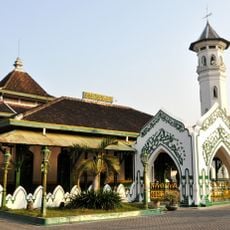
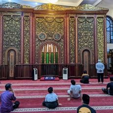
The name Ngawi comes from the Javanese word "awi," meaning bamboo, reflecting what was once abundant in the area. The population is predominantly Javanese and Muslim, with local speech patterns and traditions deeply rooted in Islamic practice, visible in daily life and community celebrations.
The town is easily reached via the Trans-Java Toll Road with connections to major cities like Surabaya and Solo. Buses, trains, and motorcycle taxis serve as local transport, while basic facilities like electricity, water, and medical care are available throughout.
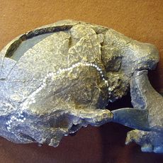
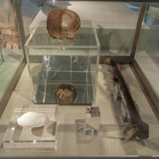
The Ngawi 1 skull was discovered in 1987 on the banks of the Bengawan Solo River and is one of Java's oldest human fossils. This early evidence of human habitation makes the area key to understanding prehistoric life in the region.
The community of curious travelers
AroundUs brings together thousands of curated places, local tips, and hidden gems, enriched daily by 60,000 contributors worldwide.