Katingan, Administrative region in Central Kalimantan, Indonesia.
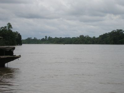
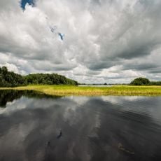
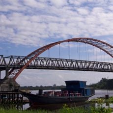
Katingan is an administrative regency in Central Kalimantan, covered largely by tropical rainforest and peatland ecosystems. The Katingan River and its tributaries form the main transportation network across thirteen administrative districts, with scattered settlements and limited road connections.
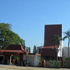
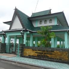
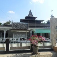
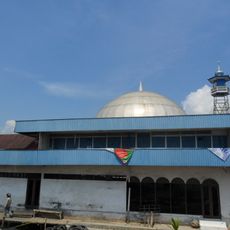
The regency was established in 2002 following administrative restructuring, with Kasongan designated as its capital and seat of government. This reorganization created a new framework for managing the region's inland territory and communities.
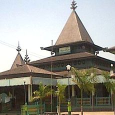
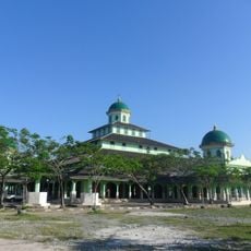
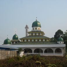
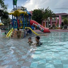
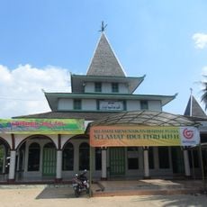
Dayak communities maintain their traditional ways of life in riverside villages, with wooden architecture and handicrafts reflecting their connection to the forest and water. Visitors can see how daily routines and celebrations remain tied to seasonal cycles and the rhythms of the river.
Travel through the region relies heavily on river transport, as road infrastructure remains limited and often difficult to reach. Visitors should plan for longer journey times and consider hiring local guides familiar with water routes and settlements.
The region contains some of Southeast Asia's largest peatland areas, storing enormous amounts of carbon that affect the global climate. Few visitors realize how crucial this hidden ecosystem is for the planet's health, making it a place of surprising environmental importance.
The community of curious travelers
AroundUs brings together thousands of curated places, local tips, and hidden gems, enriched daily by 60,000 contributors worldwide.