
Eildon State Park
Location: Victoria
Elevation above the sea: 527 m
GPS coordinates: -37.17528,145.94250
Latest update: April 6, 2025 13:15
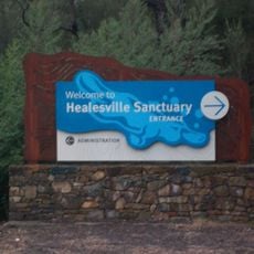
Healesville Sanctuary
67.3 km
Lake Mountain
37 km
Black Spur
54.6 km
Mount Donna Buang
63.5 km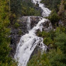
Steavenson Falls
42.5 km
Yarra Ranges National Park
57.7 km
Mount Stirling
49.6 km
Toolangi State Forest
55.5 km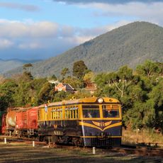
Yarra Valley Railway
67.2 km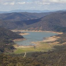
Lake Eildon National Park
14.9 km
Mount Howitt
62.6 km
Mount Buller
43 km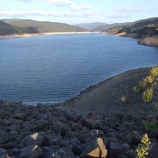
Upper Yarra Reservoir
56.6 km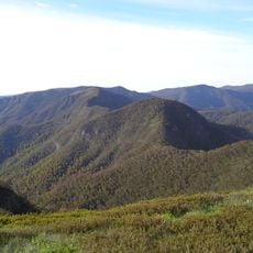
Mount Buggery
62 km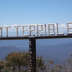
Mount Terrible
30.1 km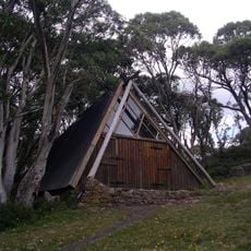
Vallejo Gantner Hut
64.5 km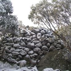
Mount Torbreck
20.4 km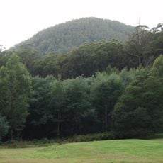
Mount Dom Dom
52.6 km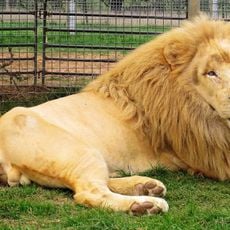
Mansfield Zoo
17.5 km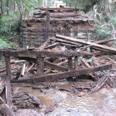
Wilks Creek Bridge
43.2 km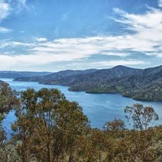
Lake Eildon
4.4 km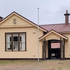
Alexandra Timber Tramway and Museum
20.3 km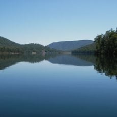
Lake William Hovell
48.9 km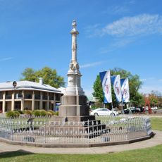
Police Memorial
18.8 km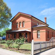
Mansfield Court House
18.8 km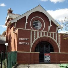
Euroa Court House
57.6 km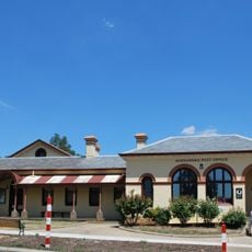
Alexandra Court House, Post Office and Shire Offices
20.6 km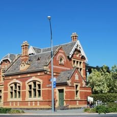
National Bank of Australasia building
57.9 kmReviews
Visited this place? Tap the stars to rate it and share your experience / photos with the community! Try now! You can cancel it anytime.
Discover hidden gems everywhere you go!
From secret cafés to breathtaking viewpoints, skip the crowded tourist spots and find places that match your style. Our app makes it easy with voice search, smart filtering, route optimization, and insider tips from travelers worldwide. Download now for the complete mobile experience.

A unique approach to discovering new places❞
— Le Figaro
All the places worth exploring❞
— France Info
A tailor-made excursion in just a few clicks❞
— 20 Minutes