
Avon, locality in New South Wales, surrounding the river of the same name
Location: Wingecarribee Shire Council
GPS coordinates: -34.42528,150.67583
Latest update: March 23, 2025 14:58
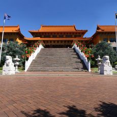
Nan Tien Temple
16.5 km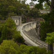
Upper Nepean Scheme
10.2 km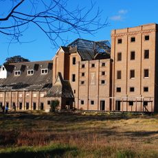
The Maltings
20.1 km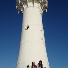
Wollongong Breakwater Lighthouse
21.2 km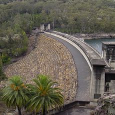
Avon Dam
8.8 km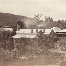
Fitzroy Iron Works
20.9 km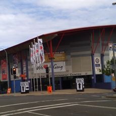
WIN Entertainment Centre
20.8 km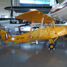
Historical Aircraft Restoration Society
18.5 km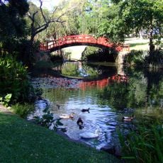
Wollongong Botanic Garden
18.6 km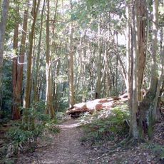
Macquarie Pass National Park
16 km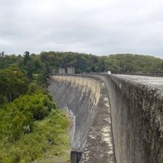
Cordeaux Dam
11.3 km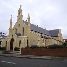
St Francis Xavier's Cathedral, Wollongong
20.8 km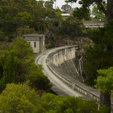
Nepean Dam
11.7 km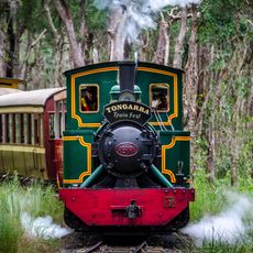
Illawarra Light Railway Museum
19.2 km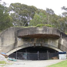
Drummond Battery
18.4 km
St. Michael's Cathedral & Rectory
20.1 km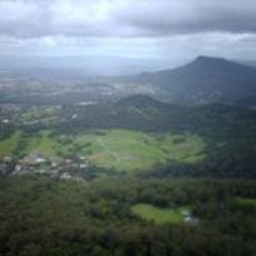
Mount Nebo
15.1 km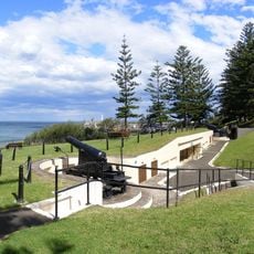
Smiths Hill Fort
20.8 km
Balgownie Migrant Workers Hostel
20.8 km
Regent Theatre, Wollongong
20 km
HARS Aviation Museum
18.4 km
Gleniffer Brae
18.2 km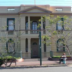
Old Wollongong East Post Office
20.4 km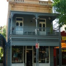
87 Crown Street, Wollongong
20.4 km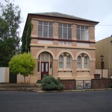
Old Mittagong Post Office
21.1 km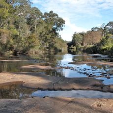
Wirrimbirra Field Study Centre and Sanctuary
5.9 km
Highlands Golf Club
19.5 km
City Library & Museum
21.5 kmReviews
Visited this place? Tap the stars to rate it and share your experience / photos with the community! Try now! You can cancel it anytime.
Discover hidden gems everywhere you go!
From secret cafés to breathtaking viewpoints, skip the crowded tourist spots and find places that match your style. Our app makes it easy with voice search, smart filtering, route optimization, and insider tips from travelers worldwide. Download now for the complete mobile experience.

A unique approach to discovering new places❞
— Le Figaro
All the places worth exploring❞
— France Info
A tailor-made excursion in just a few clicks❞
— 20 Minutes