Maricopa Trail, Recreational trail system in Maricopa County, United States.
The Maricopa Trail is an extensive network of pathways spanning the Phoenix metropolitan area and connecting regional and municipal parks throughout the county. The system consists of multiple main routes with additional connecting paths that allow visitors to explore different parts of the region on foot.
The concept for this trail network originated in the 1990s, and actual construction began in the early 2000s after extensive planning. Since its opening, the network has continued to expand and develop into a major infrastructure project for the region.
The trail connects different communities and creates a shared recreation space that brings people together across the county. Locals use it regularly for walking, jogging, and cycling, meeting at various points along the route.
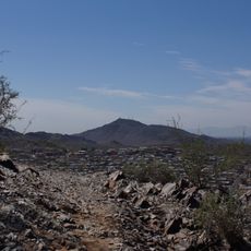
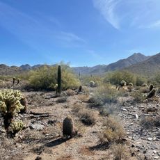
Visitors should bring plenty of water especially during hot months and watch for shaded areas, as many sections are exposed. It helps to consult maps beforehand and select your preferred route, since the network is quite large and offers multiple options.
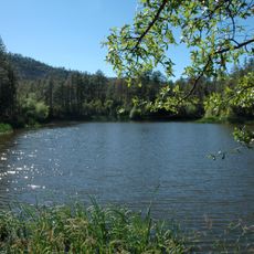
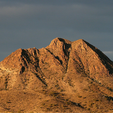
The network uses natural waterways like the Salt River and Gila River and also incorporates canal embankments into its design. These water features give the trail natural appeal and provide visitors with good reference points while walking.
The community of curious travelers
AroundUs brings together thousands of curated places, local tips, and hidden gems, enriched daily by 60,000 contributors worldwide.