
Mesquite Recreation Area, park in the United States of America
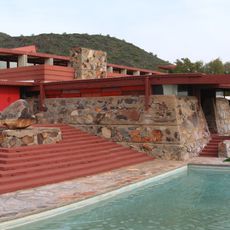
Taliesin West
41.6 km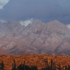
Four Peaks
48 km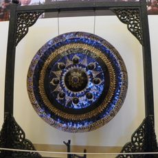
Musical Instrument Museum
40.9 km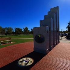
Anthem Veterans Memorial
40.2 km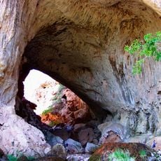
Tonto Natural Bridge
46.3 km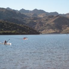
Saguaro Lake
47.6 km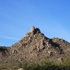
Pinnacle Peak
29.7 km
Wet Beaver Wilderness
40 km
Black Mountain
26.5 km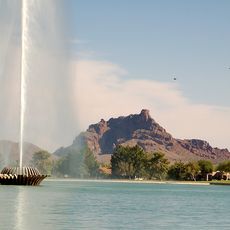
Mount McDowell
47.3 km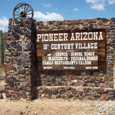
Pioneer Living History Village
43 km
WestWorld of Scottsdale
39.8 km
Childs-Irving Hydroelectric Facilities
42.8 km
Sears-Kay Ruin
42.3 km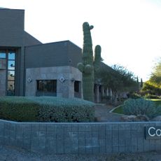
Congregation Beth Israel
34.3 km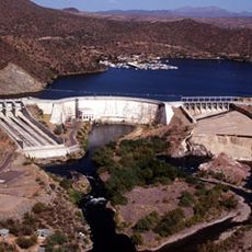
Stewart Mountain Dam
47.5 km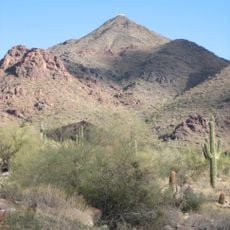
Thompson Peak
36.8 km
Verde River Sheep Bridge
12.5 km
Gateway Trailhead - McDowell Sonoran Preserve
37.5 km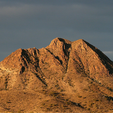
Gavilan Peak
38 km
Pinnacle Peak Park
29.5 km
Tonto Natural Bridge State Park
46.3 km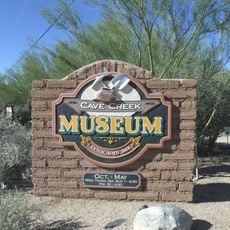
Cave Creek Museum
26.1 km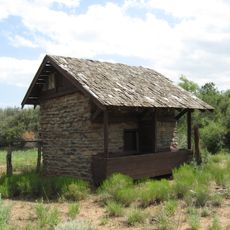
Copper Creek Guard Station
36.6 km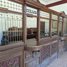
Pioneer Arizona Living History Museum
42.9 km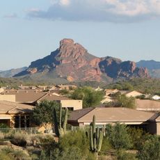
Fountain Hills Observatory
36.7 km
Verde River Golf and Social Club
24.1 km
Desert Canyon Golf Course
42.3 kmReviews
Visited this place? Tap the stars to rate it and share your experience / photos with the community! Try now! You can cancel it anytime.
Discover hidden gems everywhere you go!
From secret cafés to breathtaking viewpoints, skip the crowded tourist spots and find places that match your style. Our app makes it easy with voice search, smart filtering, route optimization, and insider tips from travelers worldwide. Download now for the complete mobile experience.

A unique approach to discovering new places❞
— Le Figaro
All the places worth exploring❞
— France Info
A tailor-made excursion in just a few clicks❞
— 20 Minutes