Agua Fria National Monument, Protected archaeological site in Yavapai County, Arizona.
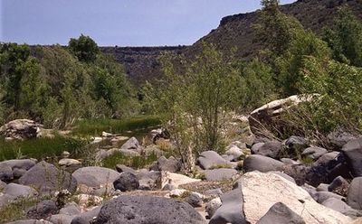
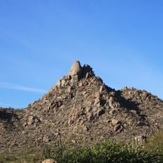
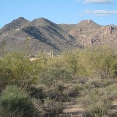
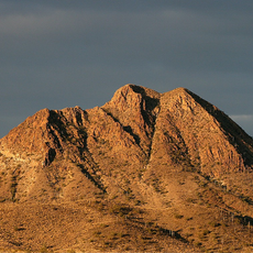
Agua Fria National Monument is a protected area in Arizona's desert with deep canyons and a river cutting through the landscape. The terrain combines dry grassland with scattered ruins and rock art from early inhabitants, creating a layered archaeological setting.
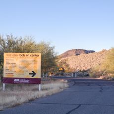
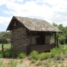
The area received protected status in 2000 to preserve over 450 prehistoric structures and sites spanning several centuries. These settlements and their remains document a long period of habitation in this region before being abandoned.
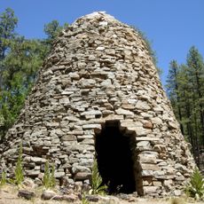
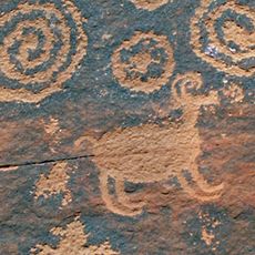
The site displays rock art and settlement remains that reveal how communities organized themselves and used this desert landscape centuries ago. Walking through the canyons, you encounter these marks and ruins as tangible connections to people who once lived here.
This location demands careful preparation with water, food, and navigation tools since developed facilities are minimal throughout the area. Unpaved access roads can become challenging to navigate, particularly after rain.
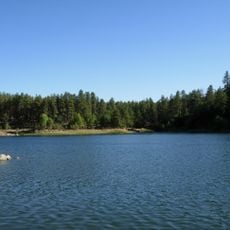
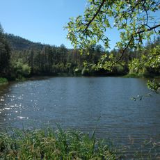
The river within this area supports rare fish species, including three endangered types and the desert pupfish thriving in this otherwise arid landscape. This hidden aquatic ecosystem demonstrates how water sustains life in remote desert regions.
The community of curious travelers
AroundUs brings together thousands of curated places, local tips, and hidden gems, enriched daily by 60,000 contributors worldwide.